At a meeting of the Teesside Archaeological Society in the early 90’s, I first met Howard Carter, shortly after foolishly suggesting to the committee the idea of a TAS fieldwork group. Foolish in the sense that my suggestion with lightning speed, resulted in my instant co-opting(pressganging) onto the committee as fieldwork officer, which would soon ensnare me into a very polite pressganging into the role of secretary of the society.
Anyway I digress, as the newly empowered fieldwork officer I stood up at a lecture to call for volunteers.
One of the first people who approached me, and somebody who was a loyal supporter of the project until his death shortly after we completed the excavations at Dalton in 1997 was Howard Carter. With a name like Howard Carter how could he not be interested in archaeology. No he didn’t find the tomb of Tutankhamum,
Howard was a very private man, who was already retired when I met him, I know he worked for HM Customs during his career, but just like Ted Coles who I talked about recently, retirement seemed to be just work continuing along a different path. I am also not really familiar with the archaeological background of Howard, although if his commitment to our project was any example, he would have been a valuable asset on any site he worked on. In researching for this essay, it struck me that Howard had worked on every project I had organised.
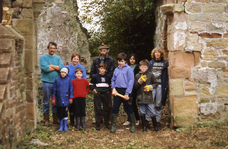
Once you met Howard his trademark Tam o Shanter and long beard made him unforgettable. One of our first areas of interest for the fieldwork group was Sockburn which included a group activity to remove the trees and shrubs that were growing in the stone work of the church, slowly breaking it apart.
Another dig was at Newton under Roseberry adjacent to the church wall, and carried out as a result of our first use of the Martin Clark Resistivity meter donated to the group by Robin Daniels of Cleveland County Archaeology.
This was the Mk 1 resistivity meter meter designed for archaeology, requiring each reading to be manually recovered using manual potentiometer adjustment, in which took an age to do a couple of dozen readings. The meter was the result of work by Anthony Clark who wrote about and developed geophysical techniques long before ‘Geophysical’ or ‘Geofizz’ became cool buzzwords. His book ‘Seeing Beneath the Soil’ is still essential reading for those interested in geophysical survey.
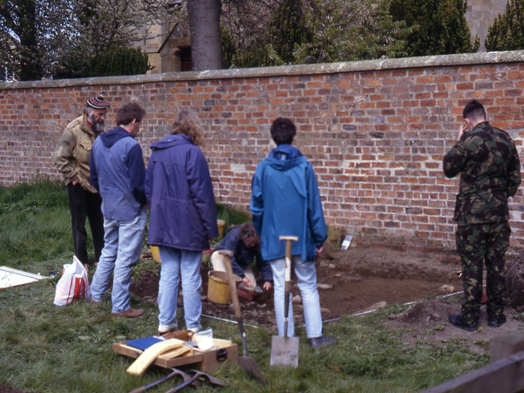
The survey did show an exciting looking linear next to the churchyard wall, which on excavation initially looked like a parallel wall, unfortunately it turned out to be a ditch filled with stone acting as a soakaway for the boggy ground.
Newton under Roseberry
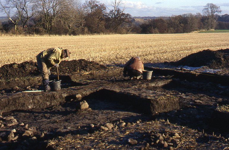
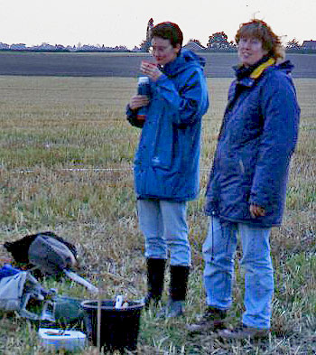
Howard was always there to offer advice and the occasional pithy comment, but it was at Dalton on Tees where like Ted Coles he showed his commitment to the archaeology, spending every weekend on site fair weather and foul, for the whole year we excavated there. Only towards the very end of the excavation did we lose Howard, who unknown to us had been in the final stages of terminal cancer for some time before succumbing, yet had continued digging near enough to the end.
Howard and Ted Dalton on Tees 1997
One of Howard’s trademarks was a hand held auger from his Customs and Excise days which was used to sample the contents of sacks full of raw materials in traditional cargo ships in the pre container age. Howard was rarely without this useful tool, and it was kindly donated to me on his passing, something I was using as recently as last weekend.
My fieldwork experience began at the age of 14, excavating with the Basingstoke & District Archaeological & Historical Society. It was then that I developed my interest in later prehistory and my lifelong fascination with the beauty of flint. As an undergraduate I worked for Martin Millet on the site of an Anglo-Saxon hall house at Cowdray’s Down. After coming to the North East I joined the Teesside Archaeological Society, excavating the Roman villa at Dalton-on-Tees and elsewhere in the Tees Valley. Major collaborative projects have included Foxrush Farm Iron Age/Roman site near Kirkleatham with Tees Archaeology and Streethouse Farm alongside Steve Sherlock. I have also taken part in many excavations across the north-east of England such as Catcote, Stewart Park in Middlesbrough, Sedgefield, Binchester and Arbeia and have taken part in several Time Team programmes. It is as a result of working on some of these sites that I am beginning to develop an interest in the archaeology of early industrial processes, particularly salt manufacturing.
I have a Postgraduate diploma in Archaeology from the University of Leeds. Archaeology forms a major part of my life, but I am strictly and unashamedly an amateur archaeologist working instead as a librarian. I was Reference and Local Studies Librarian at Middlesbrough for 25 years and am now working as a college Librarian in St Chad’s College, Durham University.
As a committee member of the Teesside Archaeological Society I edited the society’s Bulletin for 15 years and several other publications. I have also co-authored a couple of local history books about Teesside.
As one of the project managers, my role alongside Linda Davies is to project design and manage our rolling excavation programme.
Jenny and Sue Stark First Day at Dalton on TeesJenny Newsham Grange Farm 2015
As well as our current volunteers, I intend from time to time to post a brief bio of amateur archaeologist friends who sadly are no longer with us.
I first met Ted Coles in the in the mid 1990’s, when I was leading the fieldwork group of the Teesside Archaeological Society. Ted on retirement had recently moved into the area from London to be closer to his family. Ted had worked on a number of big digs in the London area, and had an eclectic range of interests including the study and recording of stone horse troughs.
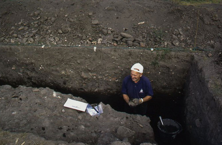
Our Roman dig on the villa at Dalton on Tees was the first time we actually worked together, and Ted soon became one of those amateur archaeologists who become indispensible to the project, We excavated at Dalton for a full year on weekends right through a pretty cold winter, and the one certain thing was that fair weather or foul Ted would be on site. One of my defining images of the dig is Ted, and another stalwart Howard Carter on site with a hard frost on the ground, moving around wraith like in the misty low winter light.
The image I have published above Ted having a session excavating a large ditch 7m wide, and at least 2m deep at Dalton (we excavated half of it). This ditch is part of what appears to be pre-Roman tripled ditched hill fort style of defence, postioned against the steep scarp down to the river.
This part of the ditch ran very close and parallel to the gable end of the large ailed building, and our trench is adjacent to a doorway into the building. The gable end of the building was rebuilt or reinforced on at least one occasion, presumably its proximity to a large open ditch made the structure inherently unstable.
The surface you can see with the bags and tools on it, is a layer of broken stone roof tiles that seem from their layout to have collapsed as part of a roof structure into the ditch. In a lower layer there are terracotta roof tiles suggesting at least one re-roofing of the structure. The ditch was well stratified and appears to have slowly been filled up with domestic waste over the occupation period of the site. Inconveniently time restrictions at the end of the dig meant we never managed to bottom the ditch due to its unexpected size. We did however recover pottery from the 2nd century all the way through and including late 4th/ early 5th century Huntcliffe ware. On top of the Huntcliffe ware, stratified native style pottery similar to the earlier local Iron Age type was present.
In the late 1990’s work pressure took me away from archaeology, but Ted continued to dig on projects throughout the Tees valley, with several years excavating with Steve Sherlock at Street House.
In the photo above Ted is about 68, I’m not sure of his exact age when he passed away. I would imagine he was around about 80 when I bumped into him at Street House a year or so before his death, still digging enthusiastically, still committed to his archaeology as the guy I had met shortly after he retired some 15 years earlier.
People like Ted put a whole new perspective on the concept of keeping busy in retirement. Ted perfectly demonstrated that retirement doesn’t have to be all daytime telly, tea dances and a season ticket to the GP once you pass 65, and that age really is a state of mind.
For those of you looking for something to do with the nights drawing in, there is an interesting all day conference in Malton on Saturday the 24th October 2015
I am advised by Jill Wilson there are still tickets available for the conference. If anybody is interested either contact her, and she will send you the editable booking form I have posted , or if it suits, just cut and paste the one below into a word document, fill it in and return to her. You then pay the £12 entry for non members on the door, there is also a lunch booking form for those who don’t want to sample the delights of Malton hostelries.
RURAL SETTLEMENT IN ROMAN YORKSHIRE
Joint conference sponsored by the Roman Antiquities Section (YAS) and The Society for the Promotion of Roman Studies (The Roman Society) The Milton Rooms, Market Square, Malton YO17 7LX
Saturday 24th October 2015
9.30am Coffee and Registration
10am Dr Martyn Allen – Rural settlement across Roman Yorkshire:
data syntheses from the Roman Rural Settlement project
10.30am Dr Clive Waddington – A neglected frontier: results from preliminary excavations on a high status settlement on the Brigantian-Roman frontier
11am Dr Peter Halkon – Roman impact on the landscape of the Foulness valley and the western escarpment of the Yorkshire Wolds
11.30am Professor Martin Millett – Across Wold and Vale: new evidence for the dynamics of Roman rural settlement
12-1.30 Lunch
1.30pm Dr Steve Sherlock – The Landscape between Cataractonium and Scotch Corner
2pm Ian Roberts – The Other Side of the Vale: The Magnesian Limestone in the Later Iron Age and Roman Period
2.30pm Peter Denison-Edson – Romano-British settlement patterns in Swaledale: answers and questions, with particular reference to 4th-century material culture
3pm Coffee
3.30pm Mike Haken and Hugh Toller – Lines in the landscape: Roman roads and rural settlement
4pm Nansi Rosenburg – The Aiskew Roman villa**
4.30pm Discussion
5pm Conference ends ** title to be confirmed
Tea and coffee will be provided.
Contact: pandjwilson@btopenworld.com or 01944 738282
…………………………………………………………………………………………………
Booking Form
Tickets: £12
£10 for Roman Antiquities Section (RAS) and Roman Society members
(Sponsored places are available for the first 10 Roman Society members to book)
Please book…… place/s for the Rural Settlement in Roman Yorkshire Conference
Member: RAS/Roman Society (please delete as appropriate)
Name:
Address:
Phone:
e-mail:
I enclose payment of £……
Cheques should be made payable to ‘Roman Antiquities Section’ or payment can be made directly to the RAS account: account number 30992461, sort code 20 48 46 using as the reference your name and adding ‘conf’.
Please return this booking form (along with a self-addressed, stamped envelope or your email address to receive booking confirmation) to:
RAS, Rarey Farm, Weaverthorpe, Malton YO17 8EY
As part of the wider Mid Tees Research Project, we are investigating the river in the area around our research area.
The area in question is some 7 km around the loop, taking in at least three fords, with the purpose of exploring the possibility of a fixed crossing point, and any other underwater structures in the area. The work will be carried out on an ad hoc basis to suit the participants involved, and dependent on the river conditions. The normal depth state of the river through the area when it is not in flood is in the region of 30cm to 60cm across 60% of the width of the river, with a single deeper channel in the general area of 60cm to 1.5m.
There is a major problem getting access to the river especially during the growing season, where we can only dip in and out as the vegetation allows. We are looking for somebody with a rib with an engine that can be carried on the top of a vehicle that is suitable for 3 or 4 people , or a flat bottomed boat with a trailer., who is interested in getting in some river time, whilst taking part in an interesting exercise. There is a launching ramp at one end of the area if necessary.
The nature of the work will be to carry out a physical inspection of the river bed, where possible using divers, underwater photography and possible towing a small magnetometer array behind the boat to pick up magnetic anomalies under the gravels.
I would be grateful if anybody with a boat themselves, or perhaps somebody they know with a boat, who might be interested, could contact me to discuss the matter further at.
When writing the Cades road background for the Pountey’s Bridge post, I noticed in the image provided for me by Rolfe and Bob, standing in the middle of the river was the person that the archaeological community at the time considered the devil incarnate, to be ridiculed, insulted and generally brushed aside.
That man is the late Raymond (Ray) Selkirk, author of the Piercebridge Formula and On The Trail of the Legions. I never met Ray myself, and although we were both looking for missing Rome in the north east in the late 1990’s, Ray was coming to the end of his amateur archaeological career, whilst I was just beginning mine. However if I share anything with Ray Selkirk, it is the same comittment to always challenge the status quo, especially the cosy world of concensus archaeology.
So why was this man so reviled by the archaeological establishment?
What was his archaeological crime, was he a north eastern equivalent of Erich von Daniken, touting the theory in his book Chariot of the Gods, that God was a spaceman, or was he perhaps the equivalent of those who for religious reasons are committed to the idea that a fossilised Noah’s Ark is sitting on a hillside in modern Turkey.
Nope!! The archaeological community thought Ray was apparently far barmier than that, what Ray actually wrote about in the Piercebridge Formula was the idea that the Romans might have canalised rivers such as the Tees to transport goods upstream to places such as the fort at Piercebridge.
Romans building canals? Surely not you might say, what a ridiculous idea, who would use rivers and canals for transport purposes?.
Well just about everybody actually!
Of course the Romans did build canals, and the Greeks before them, why wouldn’t they, they built huge numbers of them. To suggest that they would not engineer rivers to serve them in Britain if necessary is chutzpah of the highest order, especially from a community that collectively are not exactly known for their engineering prowess. Yet with one or two big names sticking the knife in, most just hunkered down to progress their careers by not making waves, whilst Ray was subject to intellectual evisceration.
Of course when it comes to airy fairy waffling on archaeology, the establishment, including the great and the good who today fill our TV screens, take some beating themselves. With their ‘sites of ritual significance’, ‘ processional ways’ , ‘high status buildings’, high status, this, high status that, ritual this, ritual that. Anybody listening to popular archaeology as defined by the establishment would think the whole population through unrecorded and recorded history was composed of middle to upper middle class types, only living in the equivalent of 5 bedroom detached homes with on-suite facilities, spending all their time when they weren’t doing high status things. building churches, walking from one church to another in their best clothes, in between praying, sacrificing, and votively offering all sorts of things.
What really was the archaeological crime committed by Ray Selkirk, I would suggest he was on a hiding to nothing by postulating a theory in advance of finding definitive supporting archaeology. The archaeological community in academia can get away with all sorts of theoretical gobbledegook, but an amateur archaeologist does not have that luxury of independent thought, if they expect to be taken seriously. Ray should have known that, and should have tempered his book accordingly, the confidence Ray had in his idea, which is a perfectly logical area of research in my opinion, became in the Piercebridge Formula a statement of fact rather than a theory.
What now for the idea of canalising rivers such as the Tees.?
For the archaeological establishment any attempt to revisit the idea will be forever linked with Ray Selkirk and avoided like the plague, probably leaving any future research that might take place to amateur groups.
Well I was told there were no villas in the Tees Valley, until we found one, I was told that all the military activity took place through the Dere St corridor, until we found Roman camps and settlements on Cades Road where they weren’t supposed to be. There are apparently no small Roman towns in this area, well watch this space!
When Ray Selkirk wrote the Piercebridge Formula there was only Piercebridge to support his reasoning, now we have a Roman military and civilian landscape along the Tees, from the villas at Dalton on Tees and Ingleby Barwick, Cades Road at the tidal limit, and adjacent to the tidal limit we now have Roman camps and civilian settlement.
Perhaps it is time for the Mid Tees Research Project to revisit Ray Selkirk’s ideas, to bring him in from the cold.
Pountey’s Bridge and the Tees crossing point of Cades road is the classic chicken and egg scenario. An enigmatic roman road lost to history needing a crossing point, and a bridge looking for a road to cross it, put the two together, a touch of imagination and everything is a possiblity.
Pountey’s is but one manifestation of the name which simply means Pons(bridge) and teys(Tees). Bridge of the Tees.
The earliest name and reference is circa 1200, and with Leland failing to mention it in the middle of the 16th century it would seem by his time it had already gone out of common use. Perhaps a more accurate indicator of its demise, can be gleaned from the known presence of a hermitage on the bridge under the control of the prior of Durham, who made the last appointment to this hermitage in 1426, after which there is no further reference
That there was a bridge at Middleton One Row there is no doubt, and a bridge that seems to pre- date the bridges at Yarm built by Bishop Skirlaw in about 1400, and the current bridge at Croft also built in the 15th century to replace the earlier wooden bridge destroyed by floods. The question is what evidence is there for linking Pountey’s bridge to the Roman period as a crossing point of Cades Road(Margary 80a), and when was the link made.
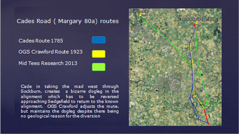
Cade’s Road(Margary80a) is named after John Cade of Gainford, an 18th-century antiquarian who in 1785 proposed its existence and possible course from the Humber Estuary northwards to the River Tyne, a distance of about 100 miles (160 km). Although evidence exists for such a road on parts of the proposed route, particularly through North Yorkshire, there is considerable doubt regarding its exact course and where it crossed the Tees. The road’s Roman name is unknown, although Cade referred to it as a continuation of Rycknild Street.
Cades route begins at Brough-on-Humber the site of a ferry, a Roman fort and civilian settlement (Petuaria) alongside a major Celtic settlement. He suggested that it ran northwards through Thorpe le Street and Market Weighton, before gradually turning westwards (possibly following the line of another Roman road) until it reached York (Eboracum). From York it continued northwards, skirting the edge of the Hambleton Hills towards Thornton-le-Street near Thirsk, and then north just to the west of the massif of the North York Moors. Approaching the Tees the 12km extant alignment of hedgelines and country lanes evaporates into thin air just 800m from Fardeanside Ford a crossing point into Newsham in the parish of Egglescliffe one of the principal crossing points of the Tees, even after the building of the road bridges at Croft and Yarm. After crossing the Tees Cades route takes the road north to Sedgefield, Durham, Chester le Street, before finally terminating at Newcastle.
Cades Road looking south from the Tees
It is at this point on Cades deliberations, where common sense and logical thinking seem to have left the building, in preference for the if’s, but’s and maybe’s of antiquarian thought.
John Cade was a local man from Gainford, and the area along the 100 mile route he knew most intimately was where he was now trying to solve a conundrum. Accepting that he was party to the view that Roman roads were generally straight between given points reflecting the topography of the landscape, logic would have suggested that crossing the adjacent ford, would allow the route to continue in a more or less straight line towards the point where the route becomes evident in the landscape again at Sedgefield. The problem for Cade was that a crossing at the ford was not supported by evidence of archaeology, no Roman camp, no earthworks, and perhaps more importantly no clearly defined straight alignment to the north.
Did Cade therfore jump at Pountey’s bridge as his crossing point?
Well no he didn’t!
Cade didn’t choose Pountey’s because he presumably knew that in 1785, there were numerous mentions of Pountey’s bridge as being medieval, it was not until the 1820’s, that for the first time the bridge is mentioned as Roman.
Cade also had another candidate, just 2km to the west in the longest loop of the Tees that extends some 4.5km from the median line of the river south into the North Riding of Yorkshire lay the ancient site of Sockburn(Soccieburg). A defended ancient site by its name elements, the site where all the new Prince Bishops would formally enter the county of Durham, the site of the famous Sockburn Worm legend, an ancient church with Viking hogbacks and Anglo Saxon crossshafts aplenty. Sockburn, together with maps already ancient by 1785 showed a road north out of the peninsula joining with the straight road north to Sadberge at Middleton St George. Cade presumably had enough circumstantial dots in his mind to join them up and neatly extrapolate the site at Sockburn back to the Romans. In doing so Cade forced his alignment 2km to the west of its route through North Yorkshire creating a dogleg. A single dogleg is perhaps not a problem, and is common on roman road alignments, the problem for Cade was that as he approached Sedgefield, he had to force the road back to the East by 2km to return to the alignment in East Park. This diversion created a double dogleg, with not a pimple in the landscape to justify it, clearly against all the engineering practices common to the laying out of a roman road alignment.
Perhaps we should not be too hard on John Cade, he was after all working without the modern benefits of good maps and aerial photographs., we can perhaps be less generous with those who came later.
To anybody considering field research in archaeology, the logic of Cades double dogleg is a perfect archaeological example of putting two and two together and making five. However Cades alignment set the baseline of the alignment, which in major part survives to this day. Cades route was subject to criticism within a few years of him publishing it, but it was nearly 150 years before an alternative alignment at the Tees was suggested by OGS Crawford of the Ordnance Survey.
In the early 1920’s, probably based on 100 years of local folklore and surrounding the romanisation of Pountey’s bridge in the 1820’s, OGS Crawford suggested an alternative alignment. The intervening century had generated claims of a motte north of Pountey’s being a Roman camp, with perhaps another Roman camp at Sadberge in the ‘roman’ field, he needed to look no further than Pountey’s Bridge. Without any more actual evidence than Cade, he suggested the road continued in a NNW direction and crossed at Pountey’s, before returning to Cades alignment. Crawford although reducing the dogleg to the west slightly, like Cade did not address the return dogleg approaching Sedgefield,
Despite the passing of 250 years since Cade, and despite numerous investigations, no evidence of Rome has been found at Sockburn or Pountey’s or on the alignment upto Sedgefield, apart from a few random finds.
Subsequently Crawfords route, including Pountey’s was adopted wholesale by Margary in his definitive book on Roman roads, but still nobody questioned the bizarre logic of the doglegs, whilst 800m away across a simple ford, hiding in plain view was a Roman military site and settlement on the north side of the river, opposite the confirmed southern alignment, and exactly where logical thinking, topography, strategic value and common sense dictated it should be.
Cades Road Alignments
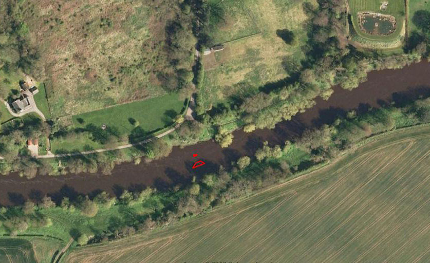
As the specialised divers in the amateur Northern Archaeology Group , we led an investigation at the site of Pountey’s Bridge, with the aim of locating any remaining structure, and hopefully dateable artifacts to support the argument that Pountey’s was Roman.
Bob and I first got interested in Pountey’s Bridge in early 1991. This was due to the diligence of a Billingham historian called George Preece, who devoted many hours researching the subject. George told us that the bridge foundations were still visible in the river in 1823, and asked if we could locate them. He had already secured permission from the land owner in advance.
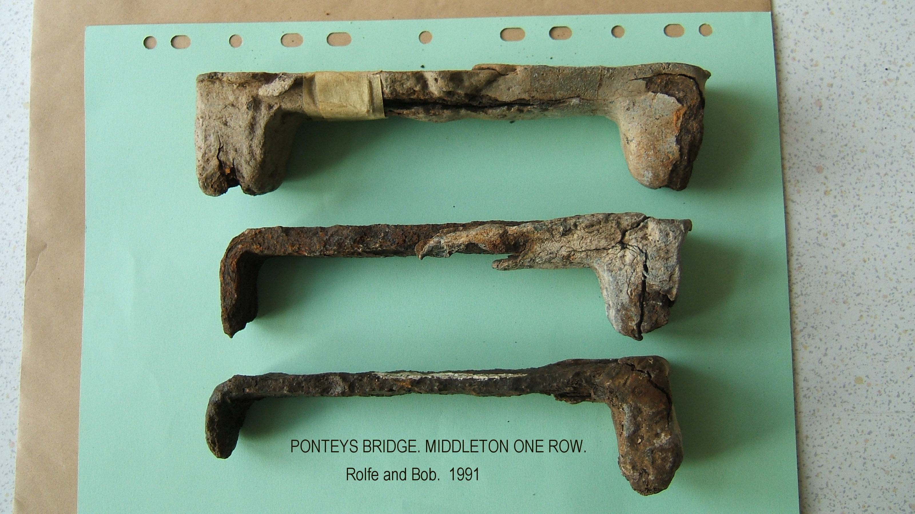
Our first dive was on the 4th May 1991, when we spent 5 hours searching approximately 100m of river bed. We knew we were in the right area when we found pieces of worked lead, followed by a chisel, then an iron clamp, clamps of this type were used to hold massive bridge stonework together, the lead was then poured in molten solidifying the joint between the iron clamp and the stone. The lead would be chipped out with a chisel when the bridge was being dismantled.
Ponteys Bridge stone clamps
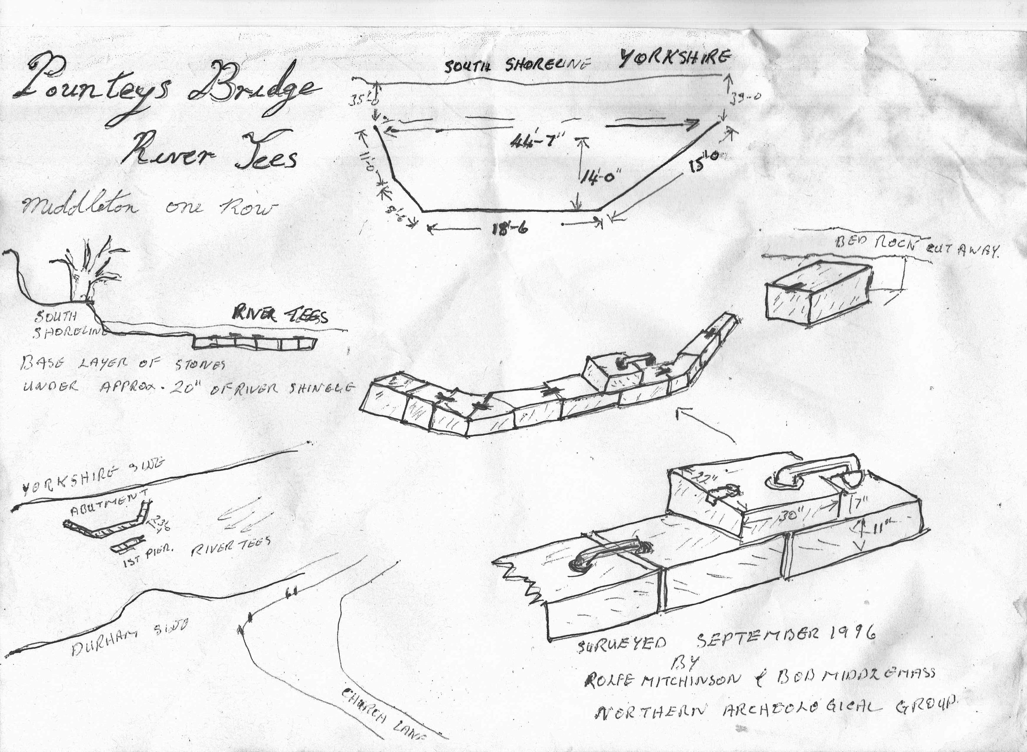
Our next dive on the 8th June 1991 produced a second iron clamp, and after digging down 300mm in the gravel bed adjacent to the southern bank, we uncovered the top of a large worked stone. This stone measured 550mm D x 750mm W x 175 mm H. We were happy we had now located the remains of the southern abutment of Pountey’s Bridge, but were pleasantly surprised to discover that there was another layer of clamped foundation stones underneath this single stone.
Our next job was to find a pier, so we measured out 8m from the face of the abutment and dug down into the gravel. After digging 450mm down, the stonework of the likely pier emerged with quite an area of it still intact. The huge stones like the abutment were held together with iron clamps.
Over the next few weeks we completely uncovered the south abutment and found it to be 13.6m wide and 15m deep.
Ponteys Bridge site planLocation of Ponteys Bridge south abutment and pier adjacent to Church Lane, Middleton One Row
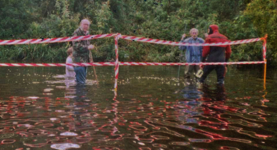
An open day was held in the September 1991, when members of our Northern Archaeology Group and the public, were able to wade across the warm river and observe the foundations, using glass bottom buckets.
Ponteys Bridge 1991 Public Open Day
After the open day, Bob and I reluctantly filled the excavations in and the bridge resumed its long sleep.
Bob and I have recovered approximately 5000 Roman coins and artefacts, plus buckets of pottery from the Roman bridge crossing at Piercebridge, in contrast we have not managed to find a single coin, artefact, or shard of pottery at Pountey’s of any period. This absence of material may be more a factor of the deep deposits of river gravels 2-3 metres deep across the Pountey’s crossing site, perhaps in the future investigating down to the the bedrock, the secret past of Pountey’s Bridge will probably be found.
The investigation whilst perhaps not confirming whether the bridge was Roman not, has perhaps provided additional evidence supporting a likely medieval date for the bridge . Traditional Roman masonry construction techniques used in large structures are alternating stretcher courses and header courses, this has the purpose of the header courses extending behind the facing stone, locking the stone face of the structure to the core structure behind, and increasing the stability of the structure as a whole. However the two courses of masonry exposed in the south abutment of Pountey’s are both stretcher courses, there is also the absence of Lewis holes in the stones for location and handling the material, also very unusual though not unknown on a Roman structure. Pountey’s Bridge was a mystery, and to some degree still remains a mystery, although we have perhaps shed some light on the issue.
Rolfe Mitchinson & Bob Middlemas.
Postscript.
Although this site is principally for research conducted by the Mid Tees Research Project, we are happy to publish other unpublished research by other organisations or individuals. If you have a piece of work gathering dust on your shelves, send us a copy either peer reviewed or not, and we will add it to the archive. It is more important that raw data is made available to other researchers, even if some of the ‘T”s and a few of the ‘I’s remain uncrossed or undotted.
Please send any contributions to: john.brown@reiverenglish.com
With the end of the excavation I will be ending the excavation daily blog or at least the perception of a daily blog. I will however continue the blog and develop the website going forward. I will also be publishing short interviews with a number of the amateur archaeologists who dug with us, and who kindly consented to being video interviewed during the course of the dig. This project if it is about anything, it is about the people who enthusiastically carry out the work, and it is at the core of the values and ethos of the Mid Tees Research Project that they are not simply shovel monkey’s to be used and discarded at will, but a fundamental and integral part of the project going forward.
I want each and every one of them if they so choose, to have the opportunity once suitably skilled and experienced to identify research areas of interest, and to work independently within the project This project was founded by amateur archaeologists and will continue to be a beacon for amateur archaeological opportunity and endeavour.
Our sites are not recycled sites that everybody and their dog has talked about until the paint dries, but brand new to archaeology sites adding to the national archaeological story, all found using minimal resources in the best tradition of amateur archaeology, operating with an open mind receptive to all possibilities, exploiting the age old techniques of basic fieldwork, coupled with the embracing of the vast array of open source(free) technology and data, with the occasional quid quo pro arrangement between like minded groups.
To end this stage I would like to thank all those who so far have contributed to our success, many of which I will talk about their contribution in more detail going forward.
Landowner:
Where would we be without the support of the landowners and farmers. From my first contact with Brian Dale and his family , i have always found an interested and willing supporter of the project, obviously as long as it doesn’t impact on their commercial activities. Brian has been extremely acommodating over recent weeks at his busiest time of the year, and for that we are very grateful.
Excavation supervisors:
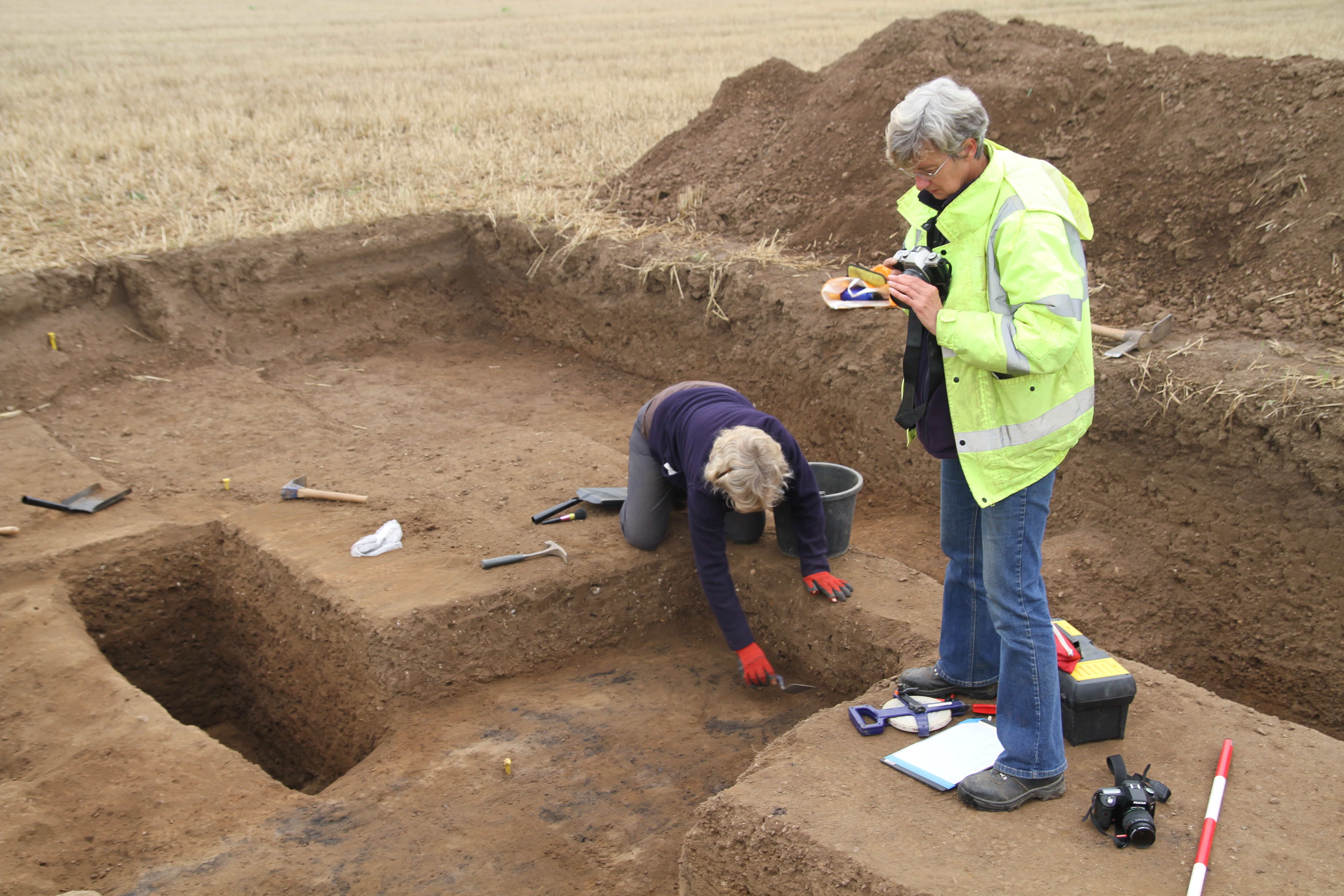
Jenny Parker and Linda Davies hugely experienced amateur archaeologists on other peoples digs, had their baptism of fire in leading on these excavations, and came through in fighting form. Nothing will be quite as intimidating again.
The volunteers: Many thanks to you all, I will be linking the blog to a mailing list shortly, where you will all be informed of the current stage of the post excavation process, it will also be a conduit to inform and advise of up and coming activity.
Graham Brown
Dave and Barbara Dickinson
Rachelle Dale
Mike Dixon
Stephen Eastman
Gordon Ford
Bailey Fleming
Louise Gosling
Stephen Hutchinson
Cathy King
Jackie Kent
Allana and Grace McDonald
Barbara and Tony Metcalfe
Mel Partlett
Rob Scaife
Jackie Snow
Lorraine Watkinson
Sue Wilson
Technology:
Mike Brown for website, imagery and videography
Anthea Ellis from the Jet Coast Development Trust for her kind loan of the magnetometer on a quid pro quo arrangement, where I supported their own geophysical activites and data analysis.
Blaise Vyner introduced me to oblique air photography, way back when, and kindly allowed me to accompany him on a number of flights. He was instrumental in providing me with, and pointing me in the direction of likely sites that may be worthy of revisiting, Dalton on Tees being a case in poin.
Steve Kaye from Bandaarcgeophysics from his base in the west country has shown a keen interest in the project since I first approached him regarding his data analysis on the likely location of Roman Marching Camps. Steve provided the project with enhanced LIdar imagery, advice and analysis, he has published online across a range of subjects.
Rachel Graham and Robin Daniels from Tees Archaeology for their logistical support and offer of funding for 2015 from the River Tees Rediscovered Lottery funded project.
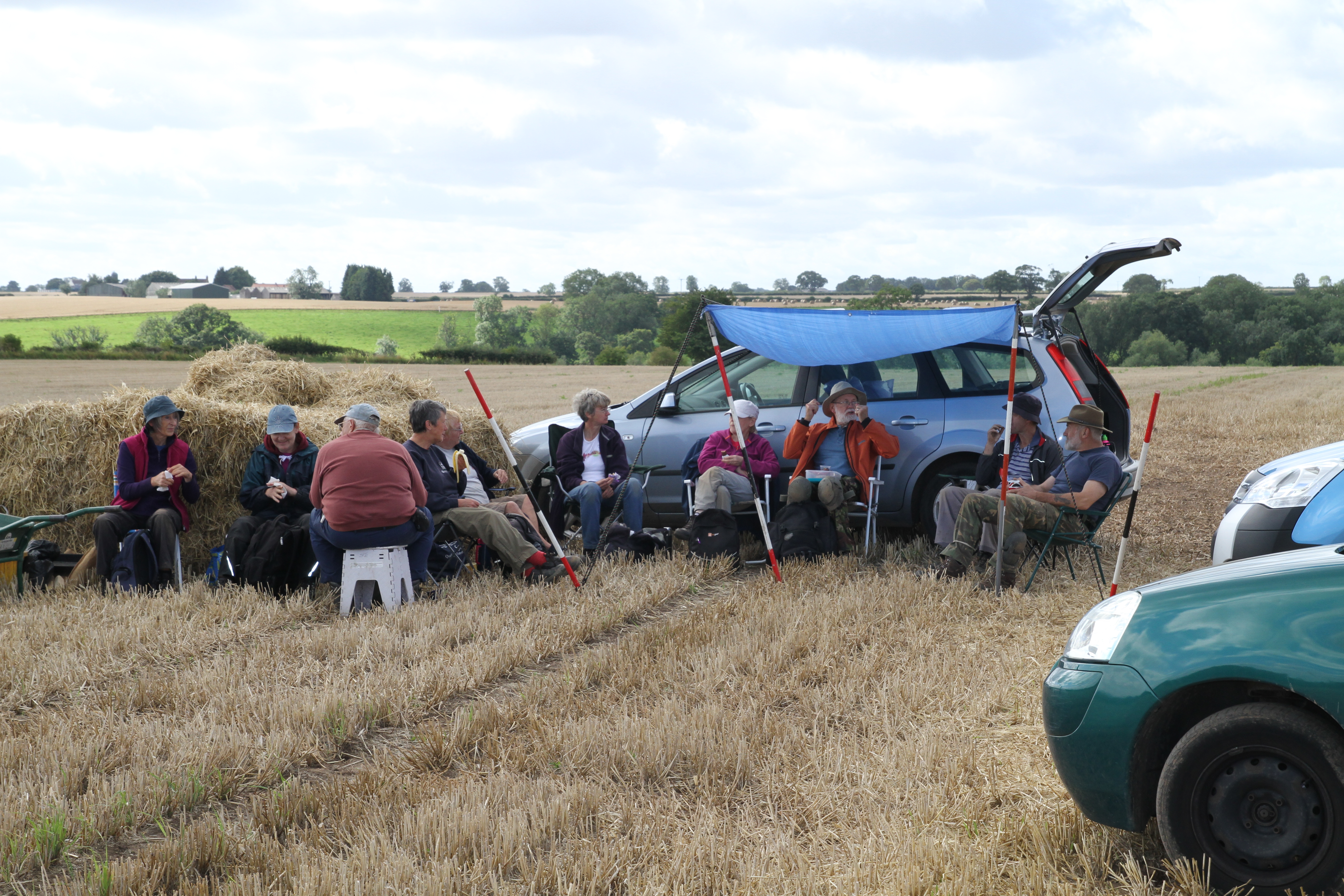
The site in the absence of volunteers seems quiet and reflective. Just Jenny, Linda and Rachel to finish off in advance of the digger arriving tommorow to back fill . I have turned up for the morning to hump and dump as required.
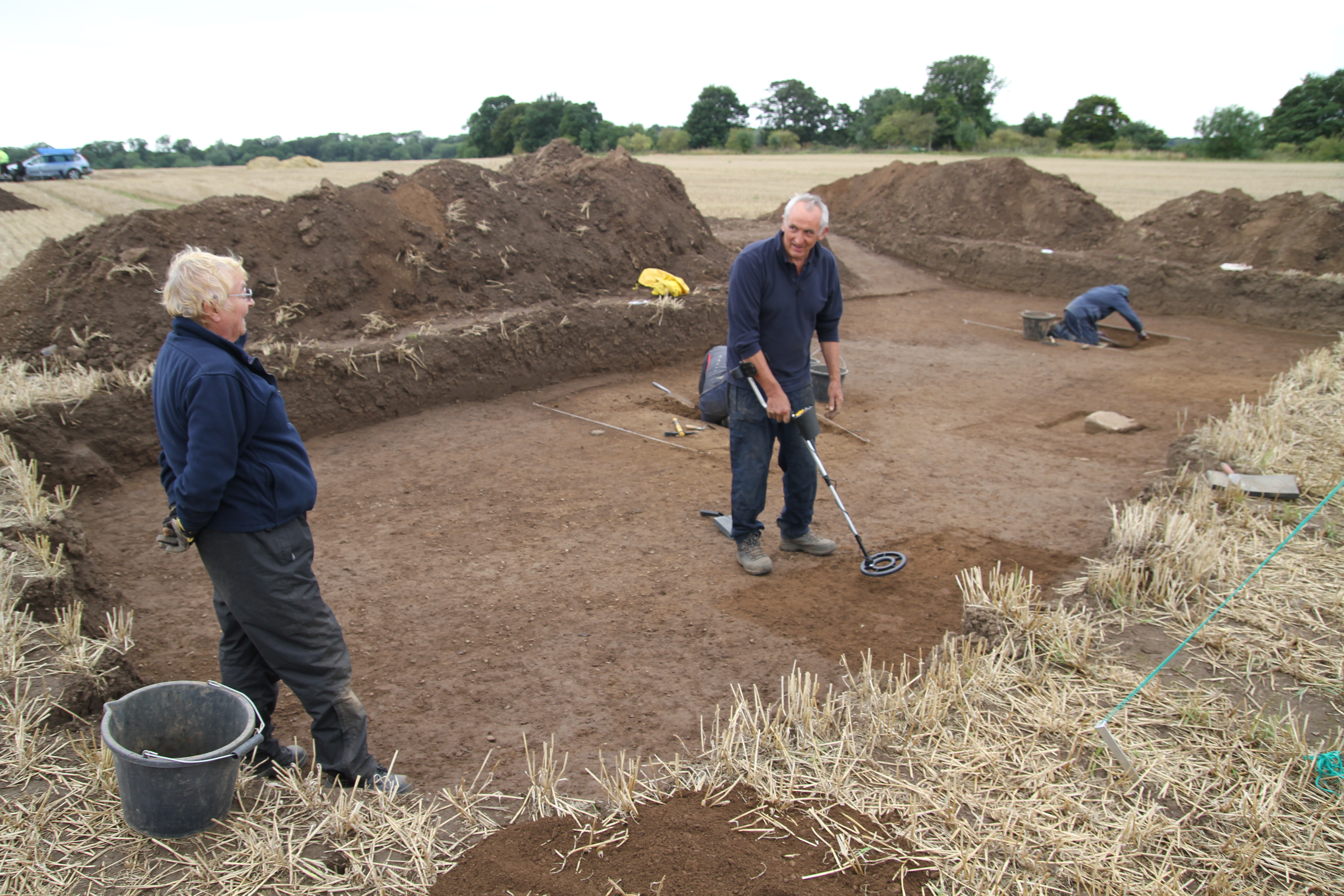
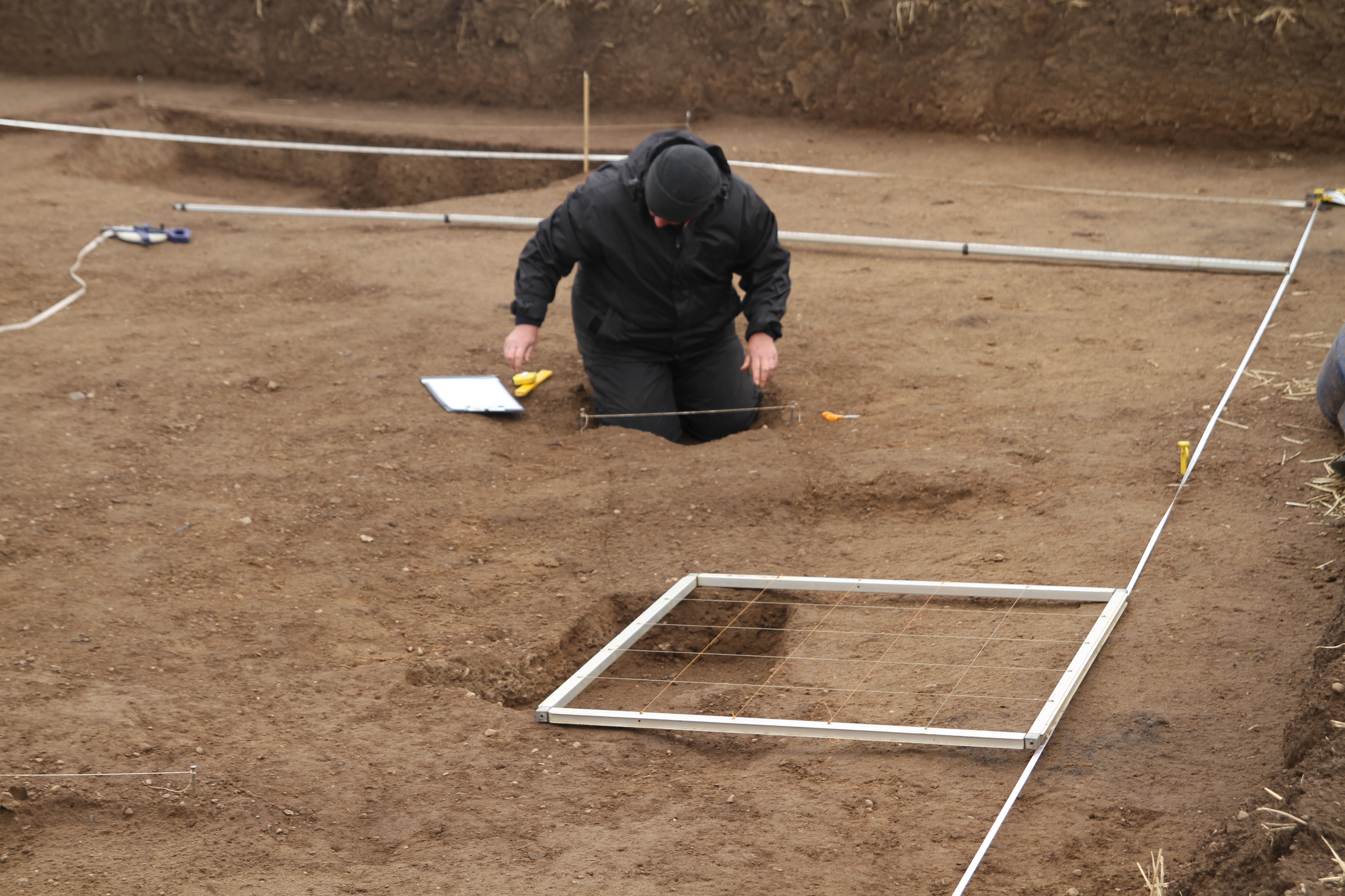
Tiny bit of excavation today opening up an area in Trench 4 above a couple of strong metal detector signals identified on the day the site was opened. This is another area where after cleaning down of the hard gravelly surface, no archaeological feature was identified, it was therefore assumed it was natural. and that the signals were probably ironstone, Breaking through the hard crust revealed a metal artifact which subsequently turned out to be a large nail. This confirms that most of the archaeology is to a greater degree sealed below this material, a good starting point for our investigations next year.
Trench 4 location of large nail.
Visit to the site from the members of the local community in Egglescliffe, informal arrangements made with Brian Dale the landowner to give a talk to the Egglescliffe History Group in due course.
Took the opportunity to extrapolate the line of the north ditch westwards to its return southwards near the scarp edge and outside of the arable area, fixed permanent location markers, offering the project the opportunity to carry out further work if required on the marching camp at any time of the year.
Left the site at lunchtime to go and do some real work, leaving the ladies to finish off.
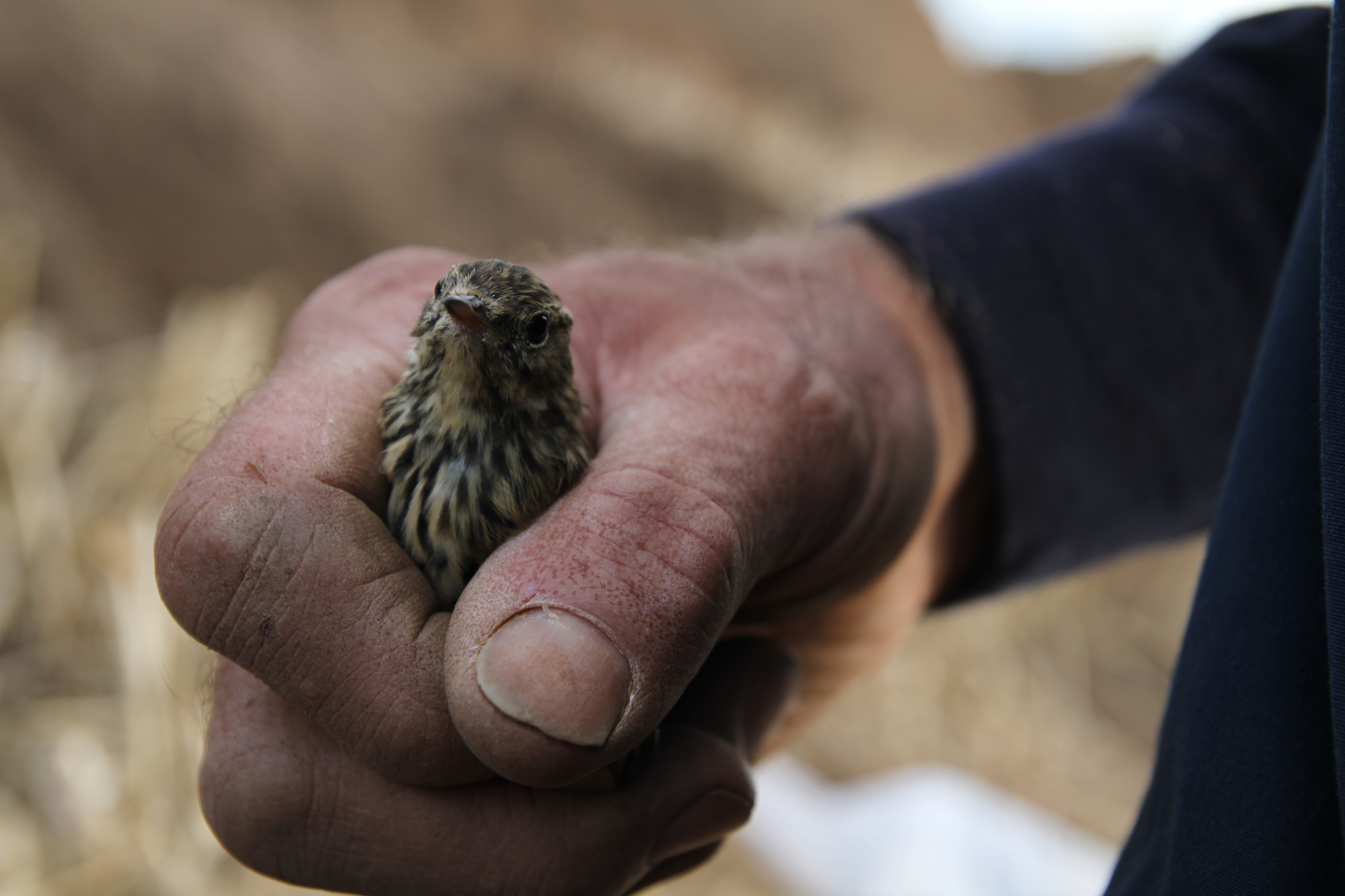
Asked for identification of this bird that flew into my car, with no takers all I can assume that archaeology and ornithology are not natural bedfellows. The bird is a Meadow Pippit.
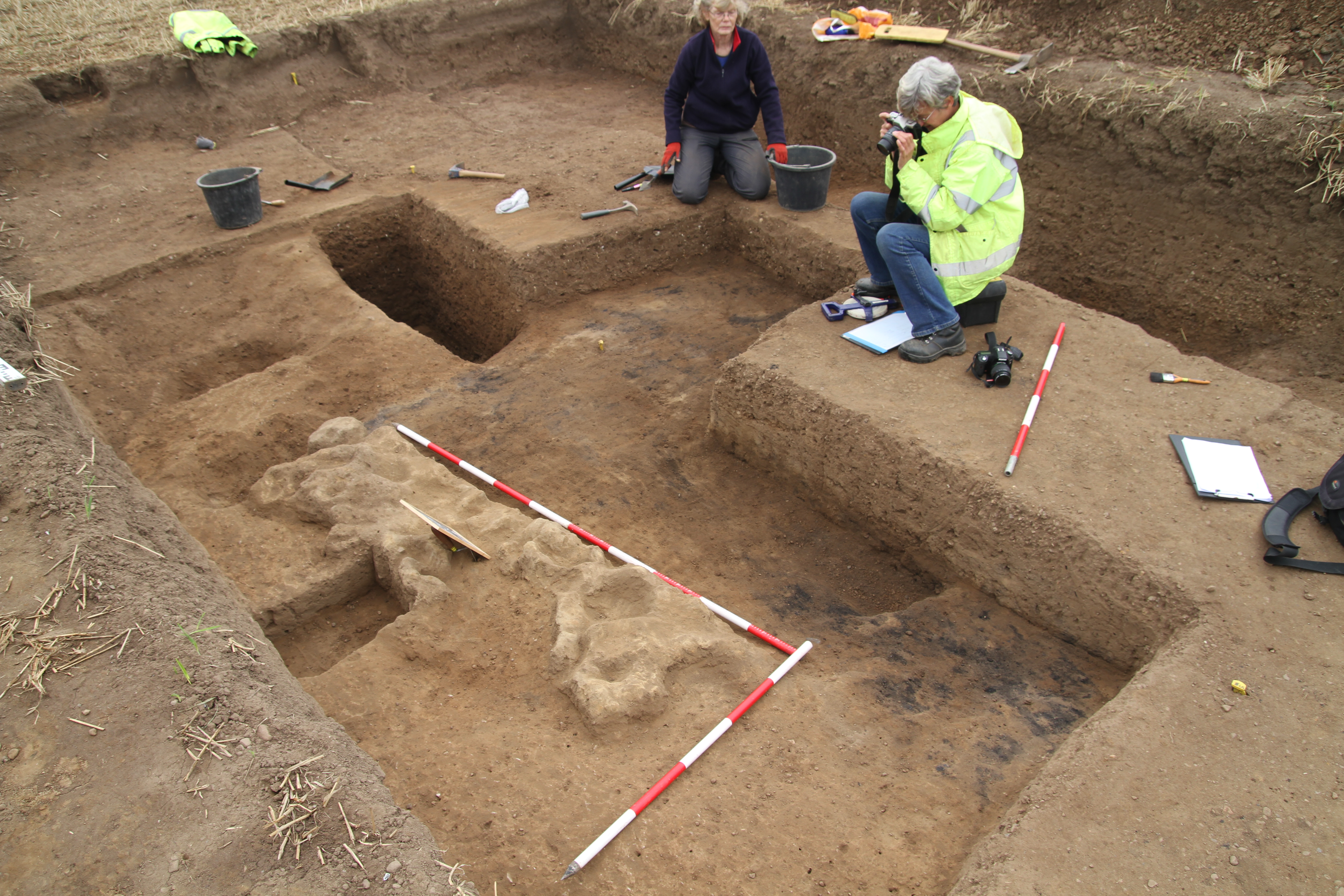
Further intensive clean down of building return in Trench 3 suggests large post hole feature in corner.
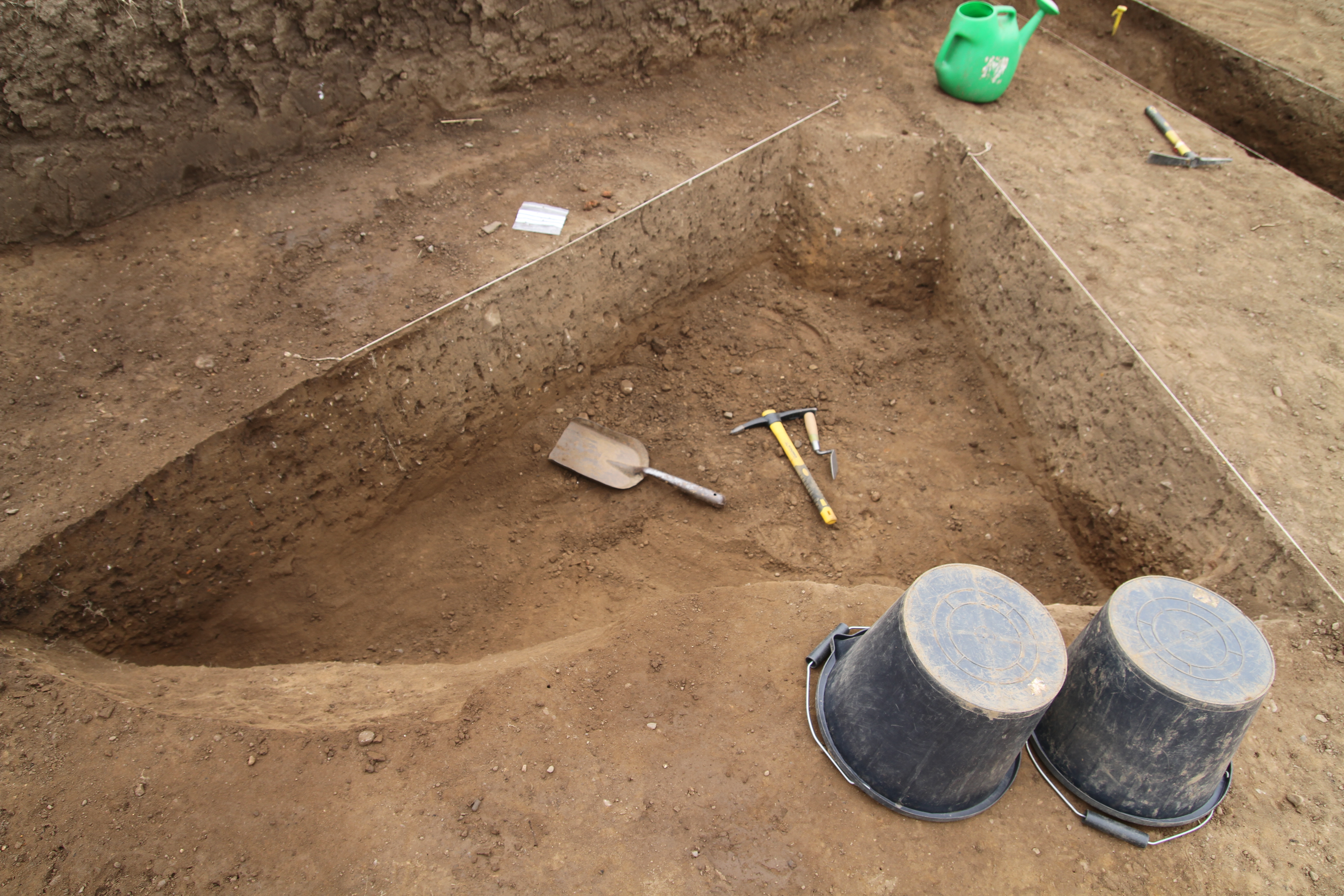
Section cut through linear feature running across Trench 1 identifies underlying metalled surface with a ditch on either side. It would appear the linear feature was actually the outside edges of both ditches, creating an illusion of a single entity. This reinforces our theory of the sand and gravel hard crust underlying the topsoil, reforming over time.
Trench 1 section across linear feature.
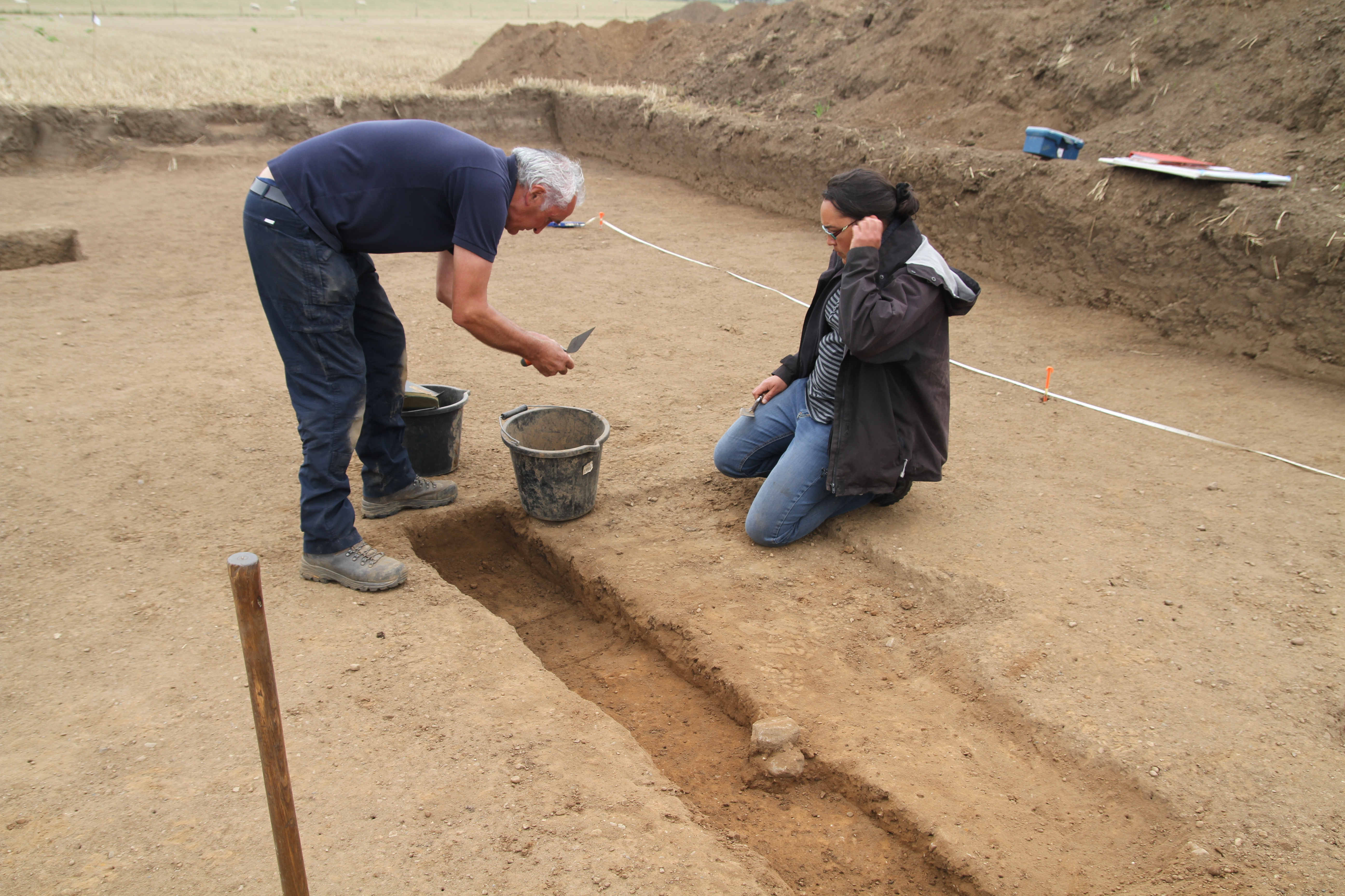
Furious activity in Trench 4 to bottom out the ditches before the end of play.