All posts by John Brown

Excavation Day 8

Weather today cool, overcast, shame about the wind drying out the sand and gravels. Fortunately the rain we have had over the last few days has softened the ground once the surface crust has been scraped away.

Have to say a few words about the diggers, despite the bad weather at times, most have been here throughout the dig in fair weather and foul,  with a few dipping in and out. Top team at digging, good teamworking and cracking social company.

Trench 1 and Trench 2 are now in the recording and photographing phase. Being ahead of the game we have decided to section the ditch feature in Trench 4.

Trench 4 was targeted at a 20m x 10 rectangular feature and one that showed up clearly on crop marks and the magnetometer survey, postulating  that this feature may well provide  evidence for Roman or early medieval  civilian settlement on the site.  The trench takes in half of the long side of the north ditch and part of the short east end including the corner. Finds in the two sections opened today include decorated Samian, Black Burnished ware and greyware, indicative of a possible  1st to 4th century range., additionally a copper pin head was also taken from the ditch.

IMG_1521IMG_1524

The Trench 5 excavation  some 30m east of the gate was also completed today. This unplanned trench  was opened to offer an second  main ditch section to the confusing archaeology in Trench 1. The ditch is 2.4m wide and 2.1m from the current ground surface to the bottom of the ankle breaker, and 1.4m from the top of the sub soil to the bottom of the ankle breaker.  Behind the ditch there is also some evidence from a textual change of the remains of the bank. On cleaning up the trench after completing the ditch, another ditch was evident running at an angle across Trench 5, interestingly with a black apparently burnt edge on one side, but not the other.

IMG_1731IMG_1730IMG_1741

Working on to complete the cleaning of Trench 5 after the others had left for the day, in the silence I heard a strange sound, climbing out of my 7ft hole I eventually found a bird had flown into my adjacent car and was banging its head against the windscreen trying to get out.  anybody know what type of bird it is.

Bird in the Hand!!
Bird in the Hand!!


Excavation Day 6

A key element of this excavation is our intention to maximise the use of modern camera technology to record as much as possible of the process.  Of course imagery has long been a staple element of archaeological investigations, but more often than not they are staged images at a particular point in the excavation for the report and the archive.

Until recently because of the expense the only alternative to still images was relatively low quality video recording, however recording  10  days of excavation, some 70 hours of video in total, especially with the excavating process making a can of  Dulux Brilliant White drying on the wall exciting, would drive the average teetotaller to reach for the sauce.

We decided to utilise three elements,  1080p High Definition wide angle lens sports cameras, 1080p High definition digital single lens reflex cameras(DSLR), and fixed lens devices such as phones and tablets.

In order to record the excavation using a method that made it watchable and usable, instead of recording standard video at 30 frames a second , which would use horrendous amounts of storage and be totally impractical, we decided to use  time lapse extensively at the rate of 1 frame every 5 second. Time lapse unlike video is actually a series on individual high definition images, each of these images in their own right can be accessed in exactly the same way as a standard DLSR camera image. This method gives us 25000 HD images per day some 250000 over the course of our 10 day excavation.

The final element is the use of a 7m mast to hang the camera on, this gives us the benefit of effectively  low level aerial photography.

IMG_0421

During the course of the excavation we have positioned the 7m mast to record the whole excavation of Trench 1 in time lapse, and are currently recording the excavation of Trench 4 in time lapse.

The results so far have been very encouraging features that were not seen on the ground after cleaning down the trench are clear in our overhead.


The following image shows the ditch we found on opening up  Trench 3, but more importantly is shows two sides of a rectangular feature with an internal division, and also shows a curved feature. The most interesting element is that 3 phases of activity in the trench are clearly visible as the rectangular feature cuts through the curved feature and the dark ditch cuts through the rectangular feature.

Trench 2
Trench 2

Excavation Day 5, let’s talk about something else. (Fishgarth Dam)

A touch behind with the photo processing tonight ,  so I am posting an interesting piece of research I carried out recently on the possible crossing points of Cades Road. The idea behind the research was to investigate known historical structures in the river,  with a view to investigating whether they were possibly being built on earlier foundations.

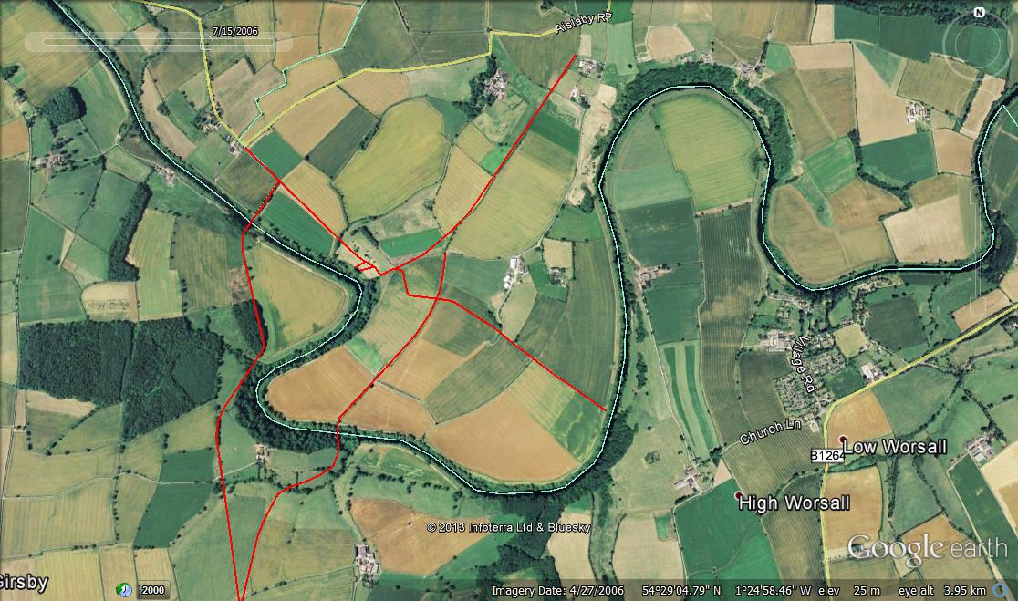
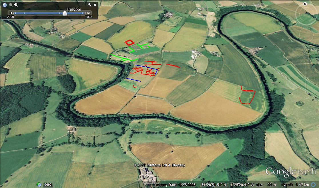
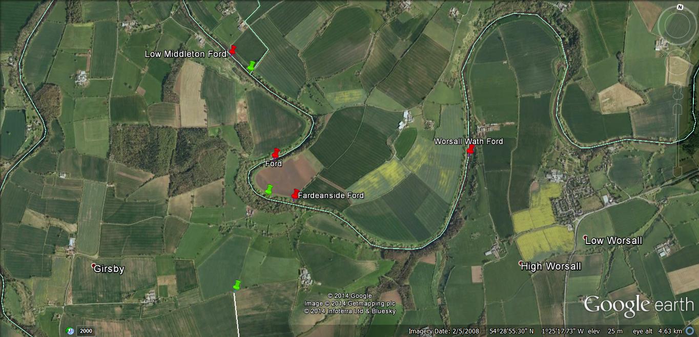
I have been doing some research on trying to narrow down the area  to look at as  starting points to focus on from the 7km stretch of the river from Low Middleton Ford to Worsall Wath. Obviously we know all the various fords crossing the river, which I have no doubt were used extensively simply because they were the furthest downstream crossing points for any North/South journey. However to validate our argument for Cades Road being a strategic road, it is inconceivable that a permanent all weather crossing point was absent from the route as it crossed the Tees. My research to date points to a number of likely anomalies that could point to a crossing, with in my opinion the most likely area being to the south of the marching camp/settlement in the vicinity of Fardeanside Ford.

I came up with this report of a riot in 1673, when a dam was demolished on the Tees in Egglescliffe, and have spent some time trying to pin down the likely location of said dam. Here is the account as published

“The informac’on of Francis Bunney, of Little Newsam, in the county of Durham, joyner, taken upon oath before William Blakiston, Esq. and John Morland, Esq. two of his Majties Justices of the Peace for the said county, the twenty-eighth day of September, Anno xxxiiio Caroli Sc’di.

Who informeth, that on or about the last day of August last past, one Mathew White, of Ovington, in the county of Yorke, yeom’, came to this Informant, and did, in the name of William Bowes, of Streatlam Castle, in the county of Durham, Esq. desire him this informant to goe with him and others to aid and assist in pulling downe a dam upon the river of Tease, called ffish Garth Dam, in the parish of Eggscliffe, in the said county of Durham; and at the instance of the said White, he this Informant did promise to meet him upon the beet of a drume, which he told this Informant would be beet to call the people together; and that, according to his p’mise, upon ffriday the first day of September instant, heareing the beet of drum, he did depart from his dwelling house at Little Newsham(my comment, no relation to our Newsham) aforesaid. In his way to Pearce-bridge he overtooke and came unto the company of the said White and others, to the number of thirty or thereabouts, whose names, or so many of them as he knowes, are hereafter discovered. And soe soon as he came to them, he travelled with them till such time as the said White desired him to ride on and stay some other p’sons that were before to joyne with them in the same designe; whereat he this Informant rode before, and found twenty p’sons more, or thereabouts, at Pearce-bridge, whome this Informant desired to remaine there till the said White and his company came up. That as soon as the said White and his company came to Pearce-bridge aforesaid, they, together with this Informant, and the other twenty, or thereabouts, did goe from Pearce-bridge to the said ffish Garth; and in their way thither there came to their aid ten more, or thereabouts; that at Neasham, in their way towards the said ffishgarth, one Mr. Henry Chaytor, of Croft, in the county of Yorke aforesaid, and one Mr. Killinghall, whose place of abode he knowes not (fn. 75), did call for ale, and drunk Esqe Bowes’ health, and afterwards gave six shillings to them, to be by them spent in drink, which they did drinke, the drum beating, and they shouting and hooping, A Bowes! A Bowes! And from thence they went to the said ffish Garth, and there he this Informant, together with the said White, and Robert Cuthbertson, of Barnard Castle, in the said county of Durham, drum’er; Robert Baxter, of the same, in the said county, laborer; John Shutt, of Whorleton, in the said county, yeom’; William Rowntree, of the same, yeom’; Christopher Shutt, of the same, yeom’; John Yarker, of the same, yeom’; Anthony Richardson, of Staindrope, in the said county, cordwainer; James Wild, of Raby, in the said county, millwright; George Speck, of the same, yeom’; George Bailes, of Wakerfield, in the said county, millwright; John Parcivall, of Gainford, in the said county, yeom’; — Parcivell, of the same, yeom’, and the miller of Upper Conscliffe; John Huggiston, of Ovington, in the said county of Yorke, yeom’; ffrancis Newton, of the same, yeom’; with eighteen more out of the said county of Yorke, and divers others out of the said county of Durham, whose names he knowes not, did pull up and breake down, with sawes and axes, soe much of the said dame as they could, and, if not p’vented by the height of the water, they would have pulled downe the whole. And he this Informant was induced thereunto, for that the said White did assure this Informant he had a letter from the said Mr. Bowes, to be left with Mr. Witham, at Sledwish, to be sent into the high lands, to get the said Mr. Bowes’ tenants, and as many more as they could, to goe along with them, and that all their charges should he defrayed and borne. And he further told him, that Mr. Bowes was gone another way, and would meet them; but that he this Informant did not see the said Mr. Bowes, nor had his charges, or heard of any that had them borne. And he further saith, that the said Cuthbertson did frequently beet the drum all the way on their journey; and that all or most of the said p’sons were armed with guns, pistols, swords, and other offensive weapons.

A certificate follows to the same purpose, signed by four Magistrates and the Under-Sheriff (fn. 76). The dam is stated to belong to Sir Henry Marwood, Bart. and Timothy Maleverer, Esq. The rioters met by beat of drum, and did “discharge severall guns or pistols at the Fishgarth, and also threatened to burne the dwelling-house of one Christopher King erected there;” however, “as soone as they had done what they could at the pulling up of the said dam, they im’ediately dispersed, and returned peaceably to their respective dwellings.” (fn. 77) “

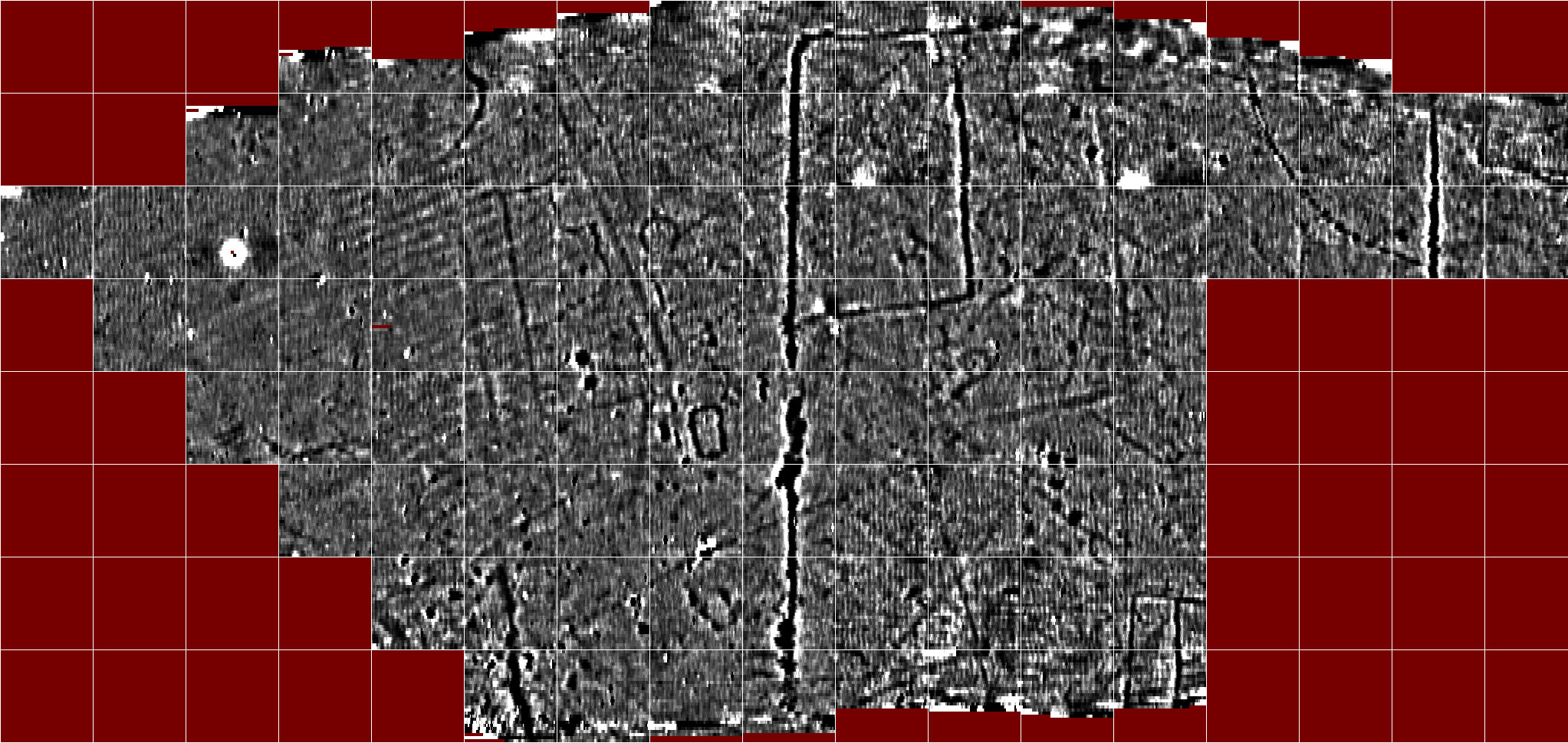
I have trawled through the documentary evidence looking for Fish Garth Dam and the adjacent Fishgarth Farm (Christopher Kings dwelling house)that is mentioned, and had the best results using the 1840 Tithe map and apportionments. Reviewing the whole of Egglescliffe parish I came up with no Fishgarths in the Egglescliffe township, four fields called Fishgarth in the Aislaby  township,(550,551,552,553) and four fields called respectively Fishgarth(555), South Fish Garth(575), North Fishgarth (576) and Fishgarth (578) in Newsham township.  I immediately assumed there must have been two fishgarths at some time complicating the search, however on consulting the tithe map, I found that the four Aislaby Fishgarth fields together make a parcel of land that mirrors nearly identically a detached parcel of Aislaby land to the south of our marching camp/settlement site and abutting the river, and the four Newsham Fisgarths are immediately to the north of the marching camp settlement site, potentially at or about the site of said Fishgarth Farm?. I have attached a tithe map with relevant Fishgarth areas marked out. This research of course does not ignore the possibility that no reference survives to the site of the 1673 dam, however having eight Fishgarth names surrounding our main site, has to be worthy of further research.

Obviously this is all circumstantial, although in the absence of signs telling us ‘No Diving off the Dam’, or ‘Day Fishing licences, only 1 groat’ being found discarded in the hedgerow, we have to work with what we have.

The Fishgarth dam in question in 1673 was presumably causing the same sort of problems for migratory fish as the current Tees barrage does with the same complaints, although more proactively made presumably because the structure was too high and substantial for the fish to pass. The Aislaby Fishgarths in Newsham take up all the detached Aislaby land in Newsham, and is just too much of a co-incidence for them not to be linked in some way. Detached parish lands are thought to be an anomaly of the ecclesiastical parish rather than the later civil parish, potentially taking whatever structure was in and abutting the river at this point back into the feudal period 9th to 15th century, and who know’s how earlier. The Term ‘garth’ is of course Anglo-Scandanavian in itself.

In a nutshell we have potential evidence for a structure in the Tees that at least had a substantial wooden superstructure in 1673, which was only partially removed due to the depth of the water at the time. The named Aislaby Fishgarth detached parish fields in Newsham have as their western boundary the hedgeline we have postulated as the route of Cades road. Assuming said dam respected the existence and continued use of Fardeanside ford, I would expect any dam to follow the method adopted at Low Middleton, where the ford is about 100m downstream of the weir structure, maintaining the integrity of the ford as a crossing point whilst also giving shallow access for whatever method was used to trap fish against the dam. Fishgarth Fields

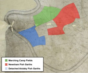
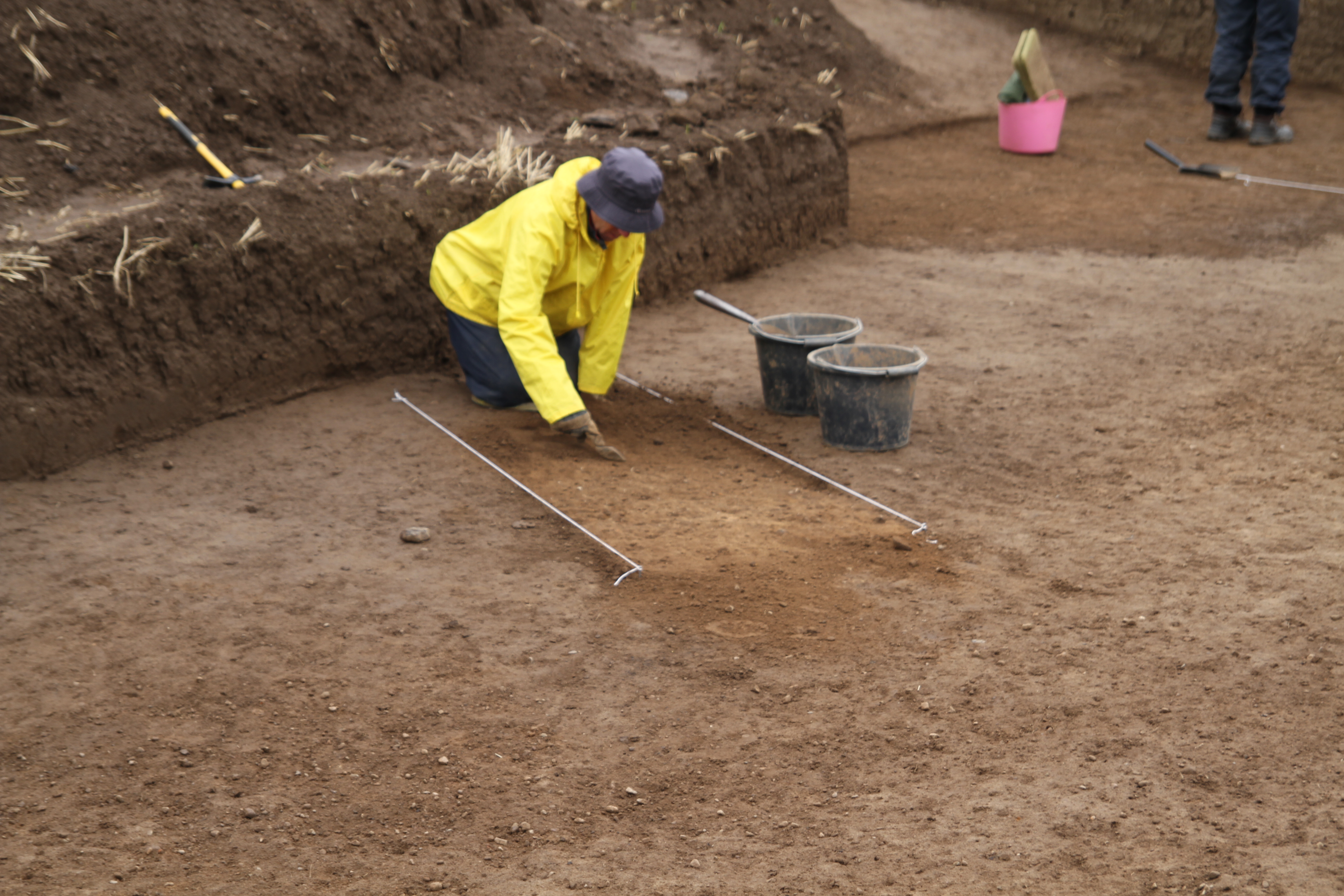
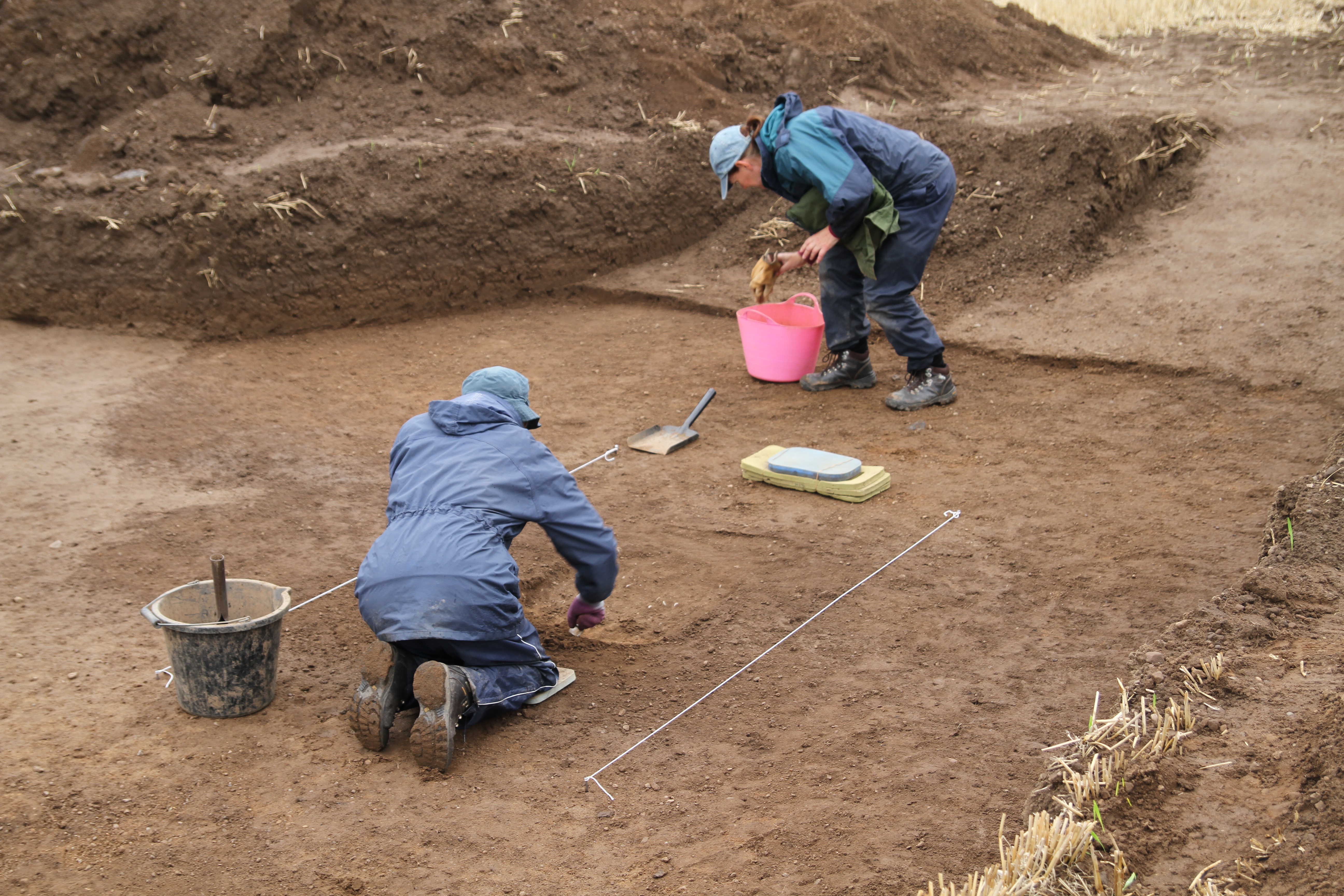
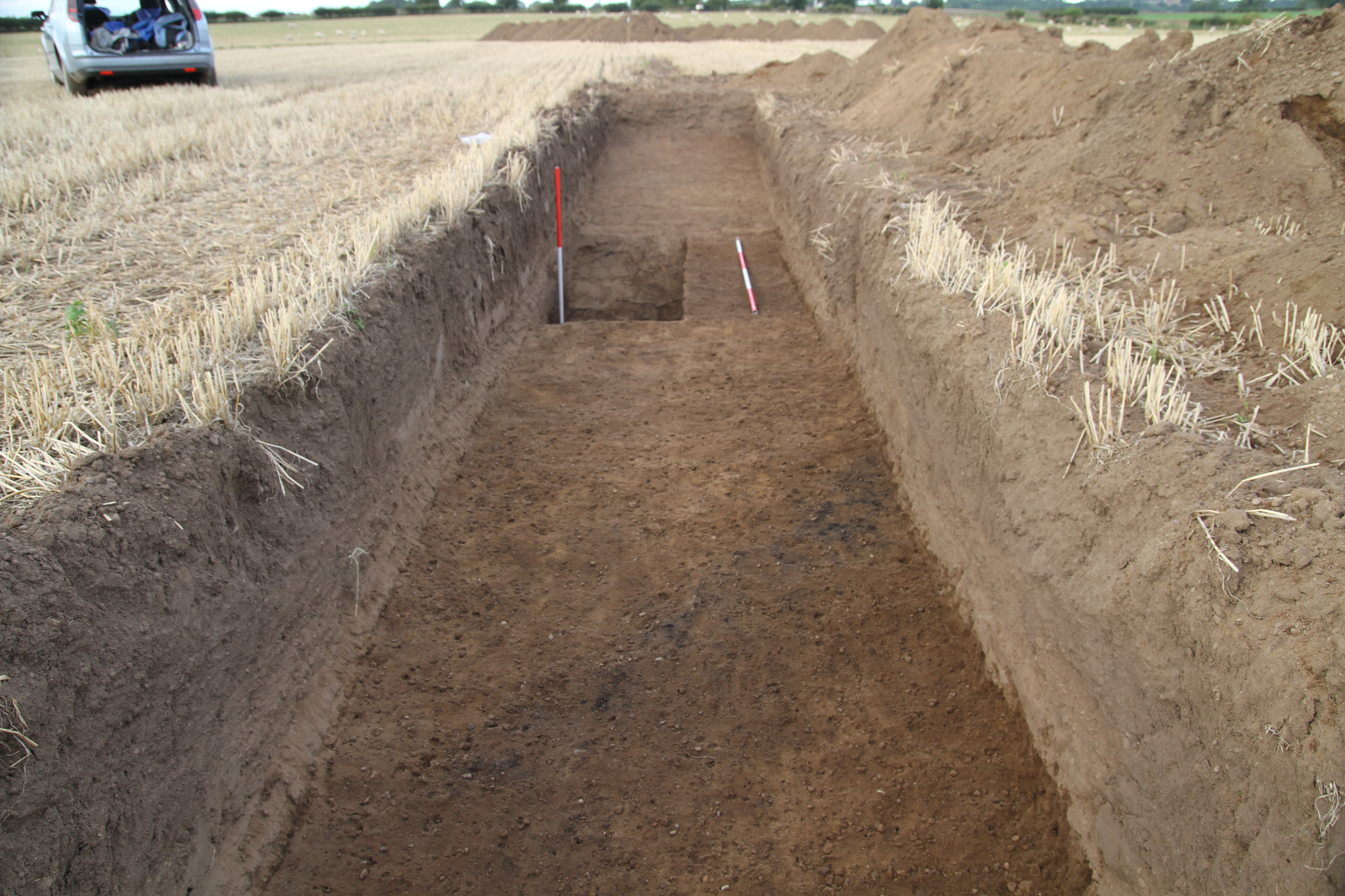
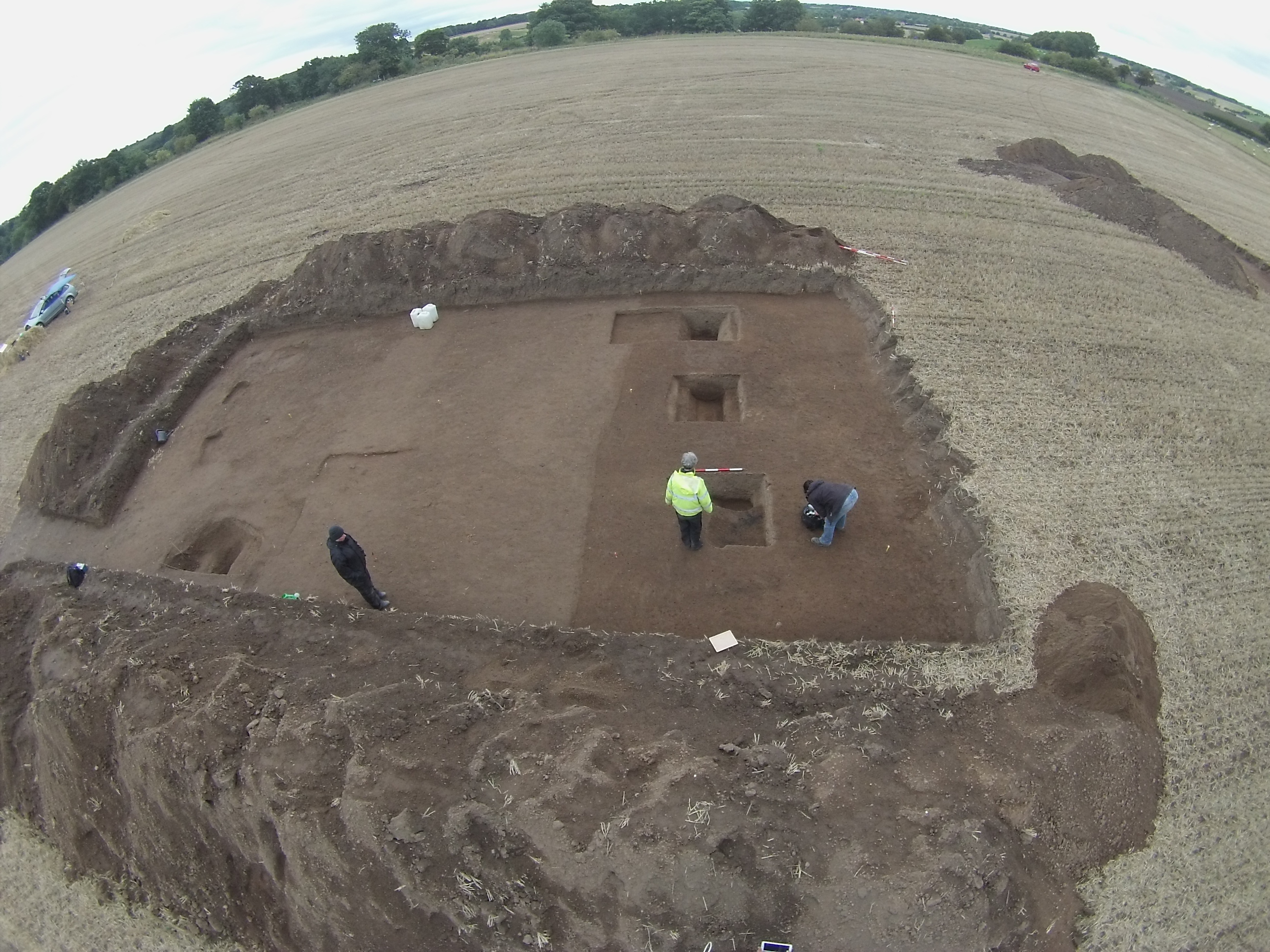
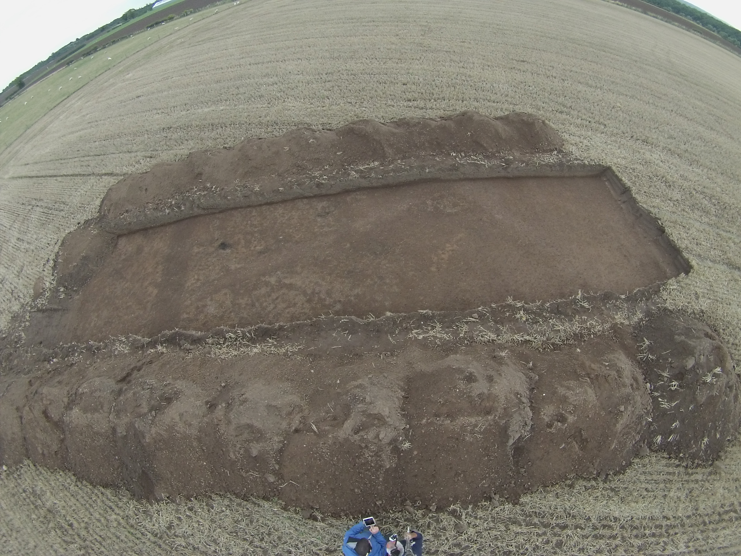
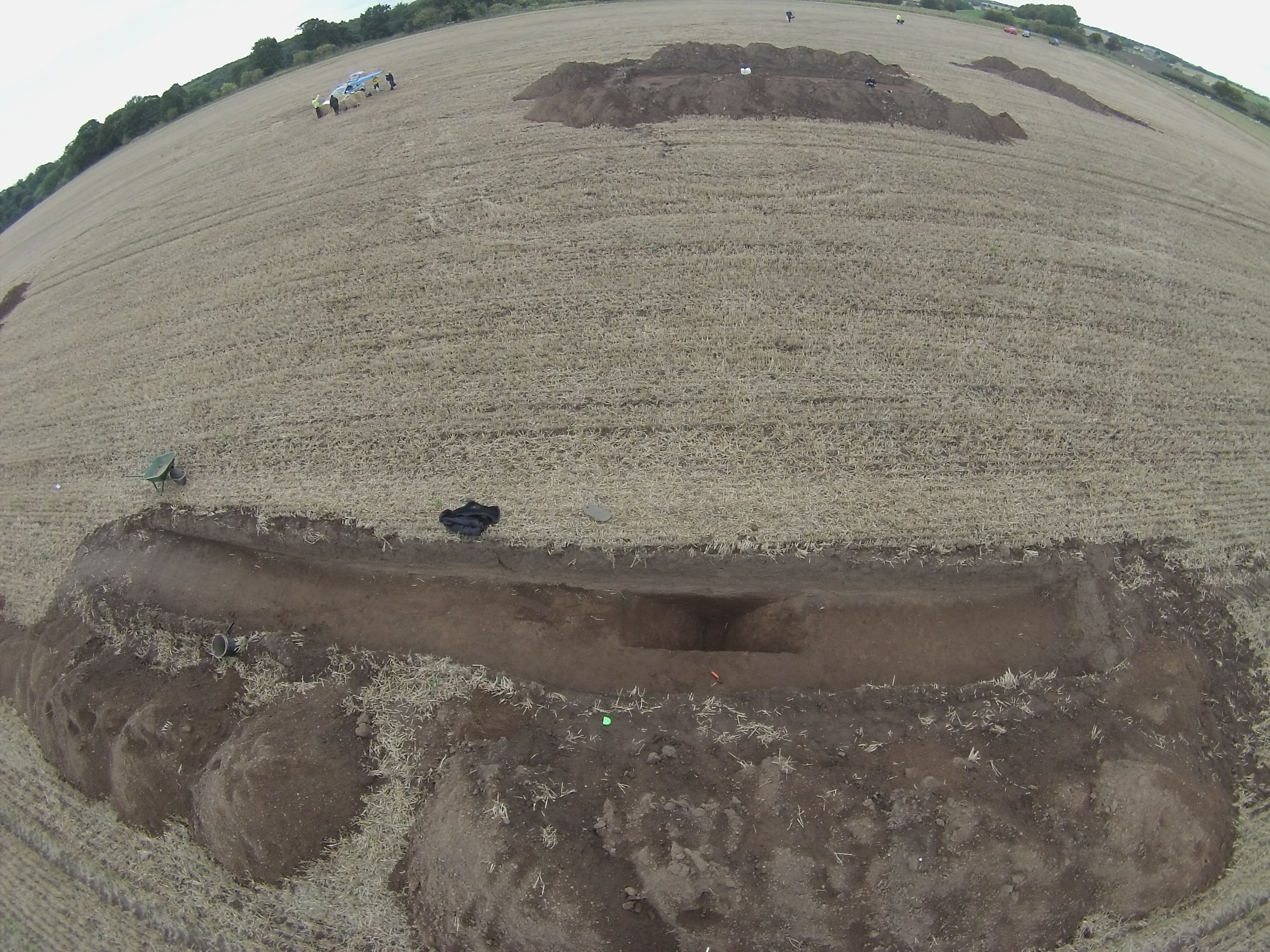
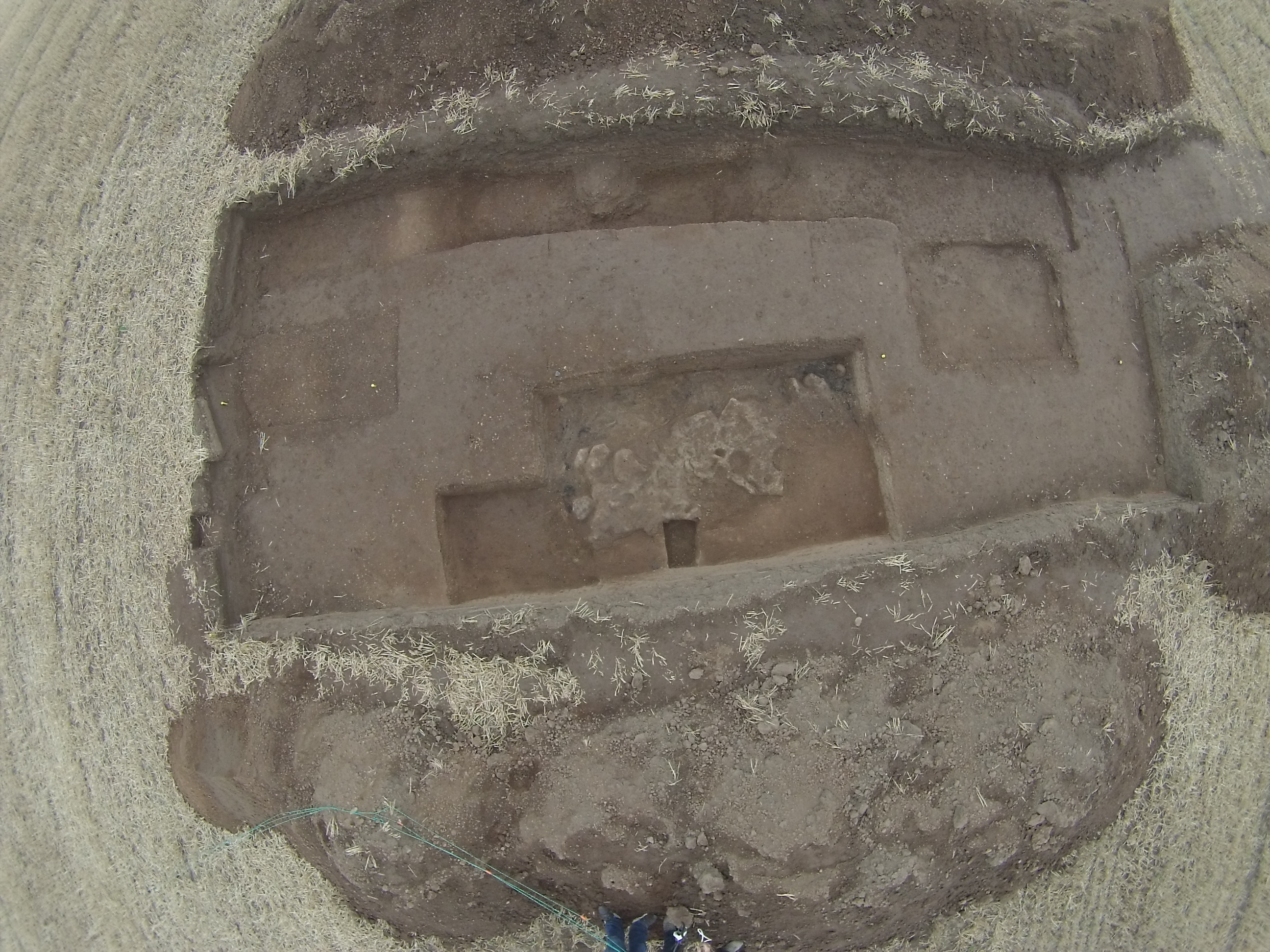
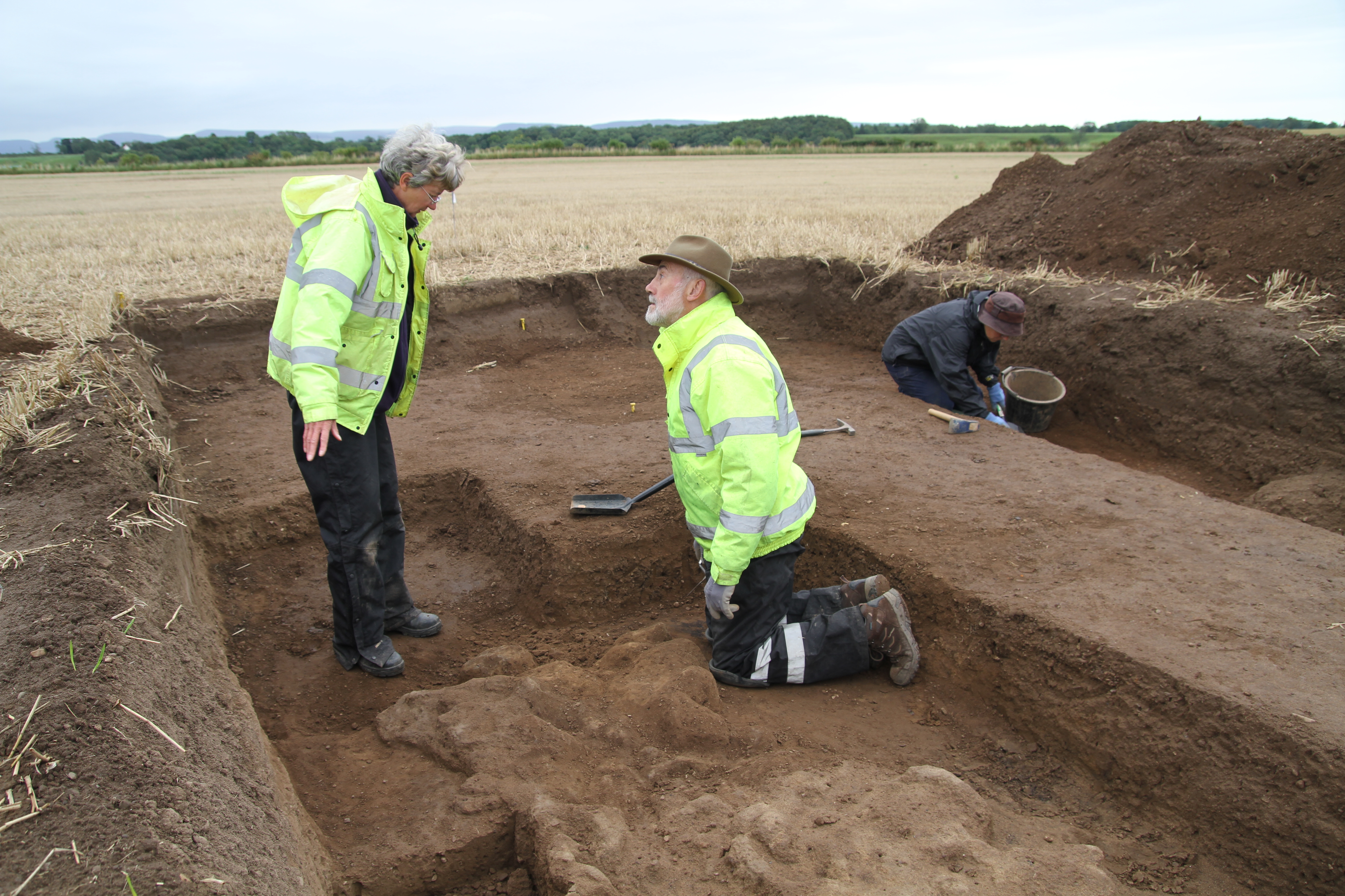
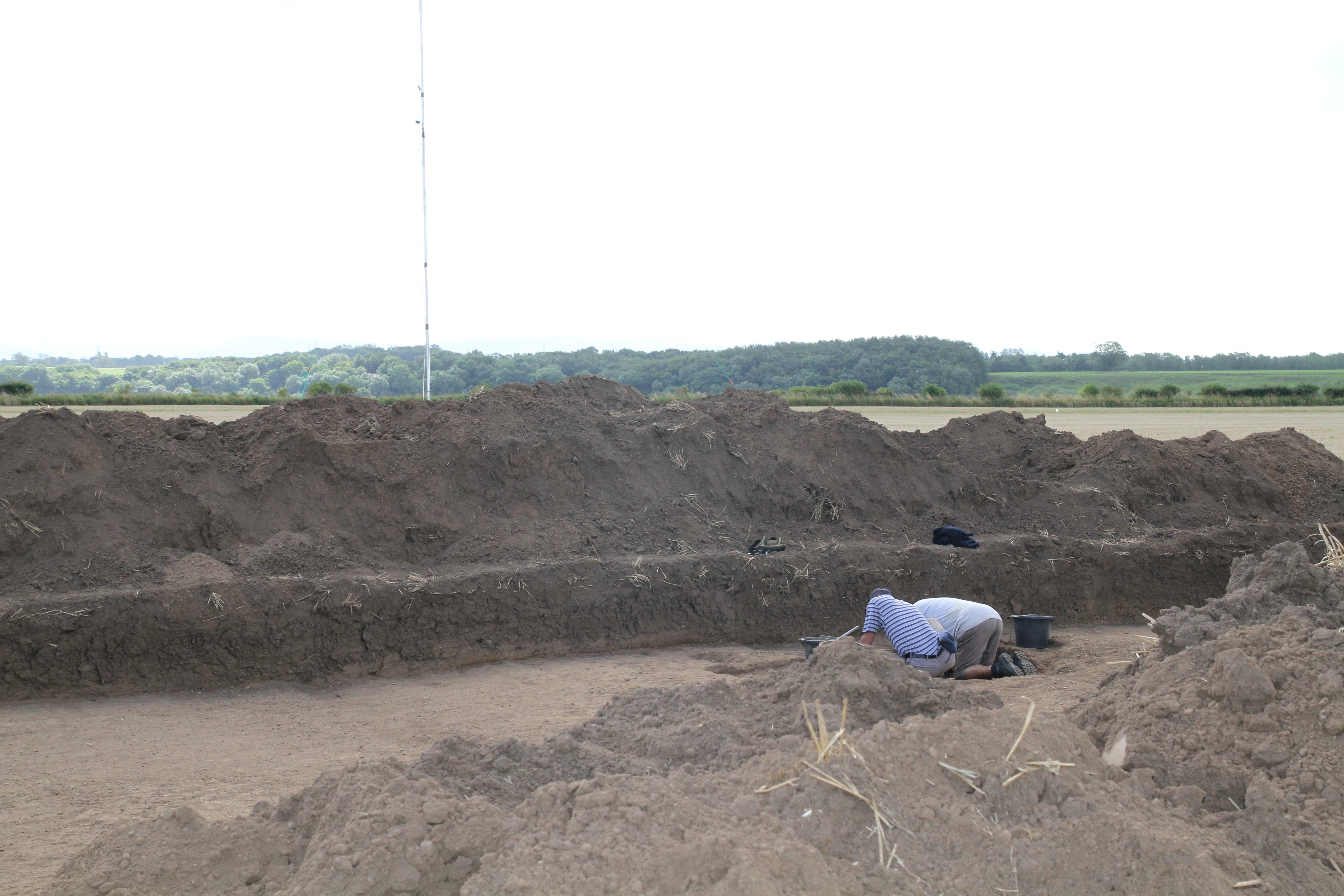
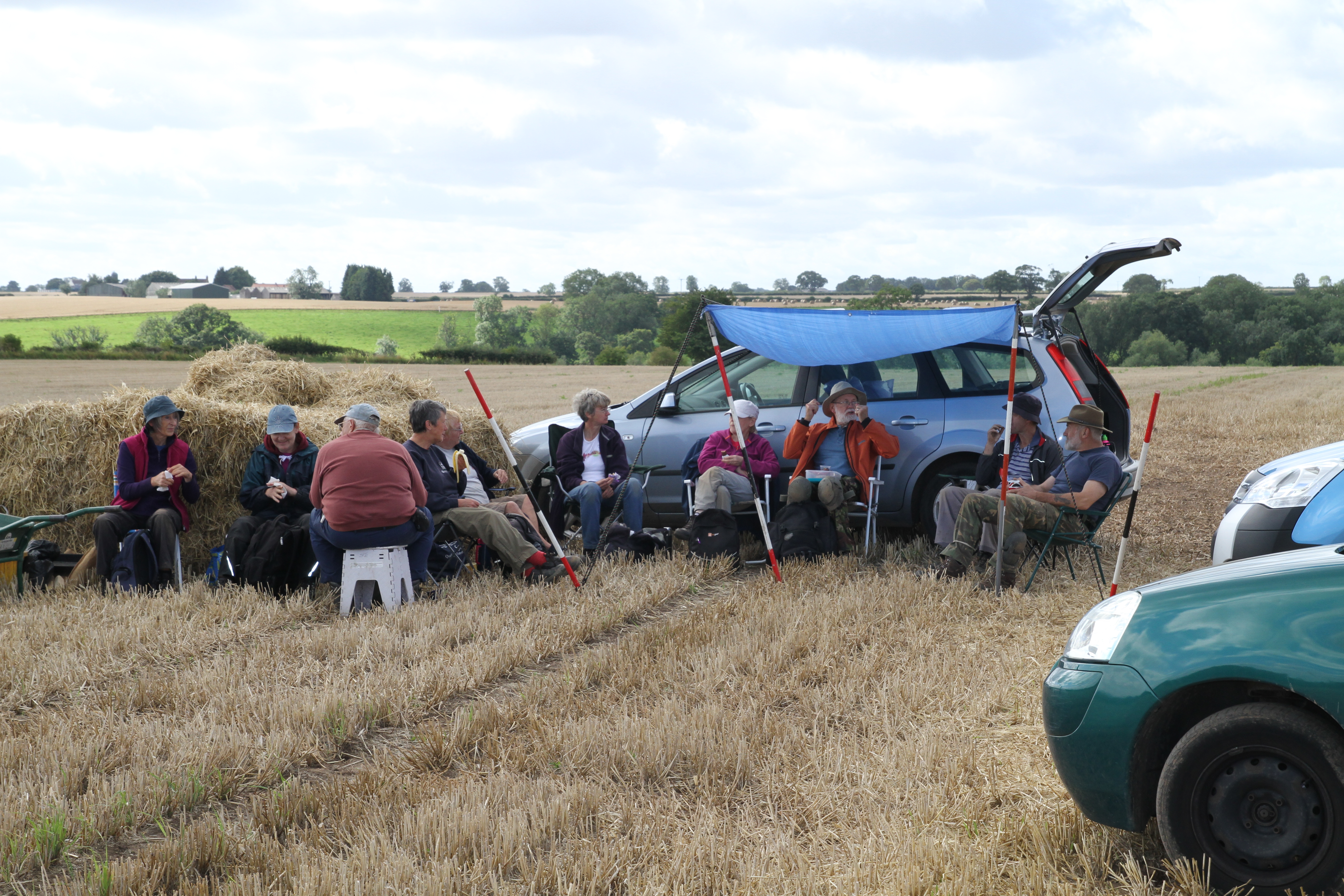
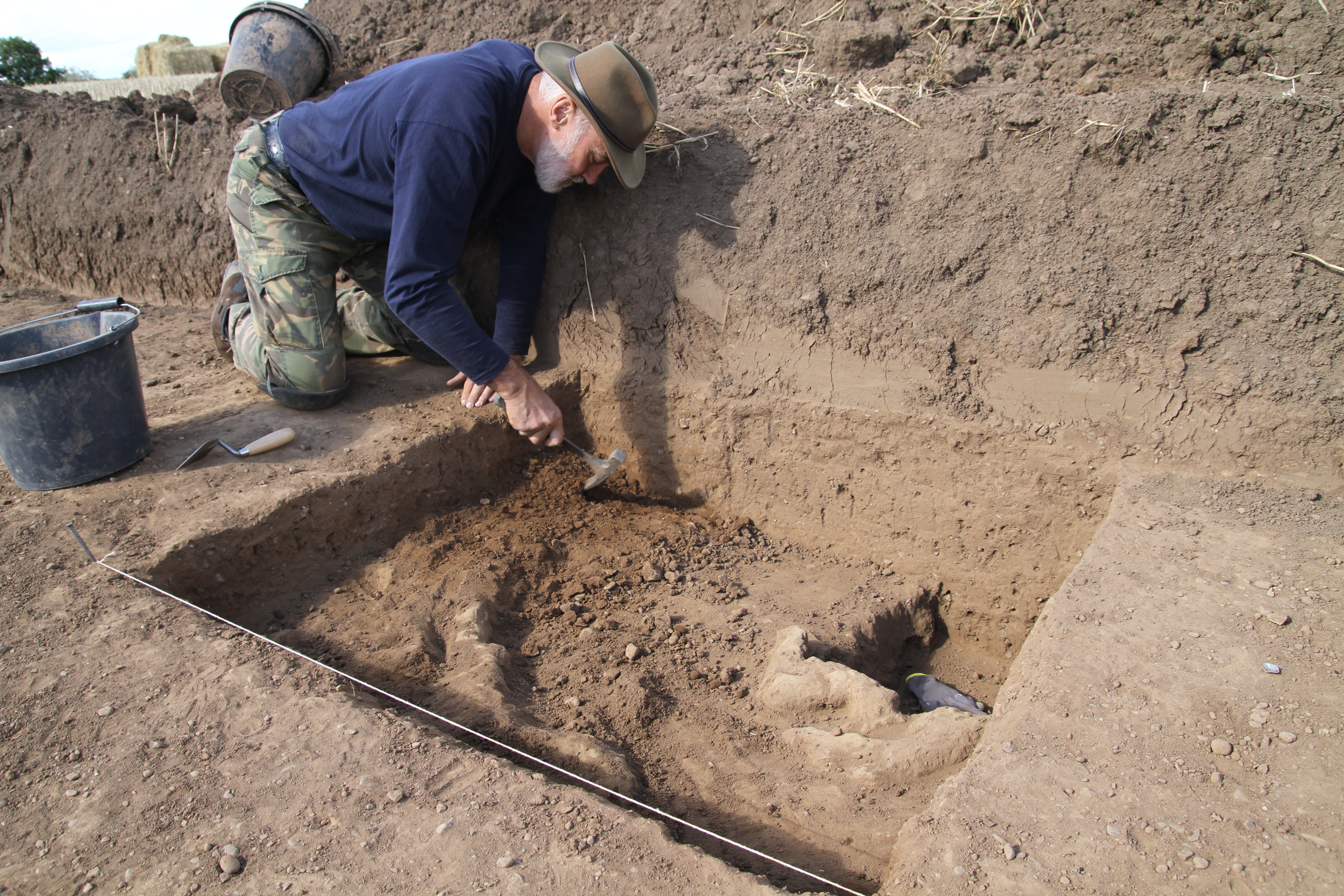
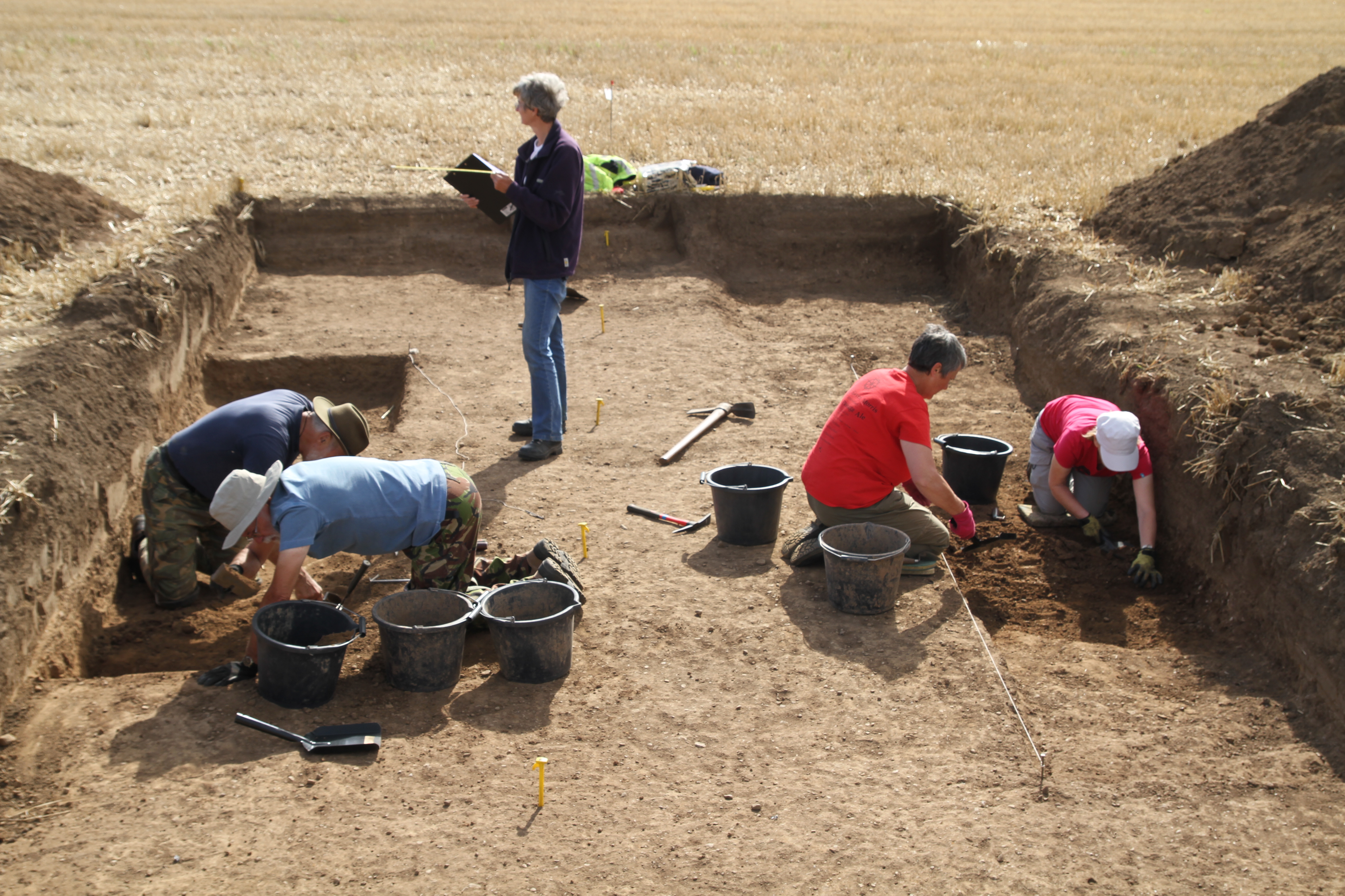
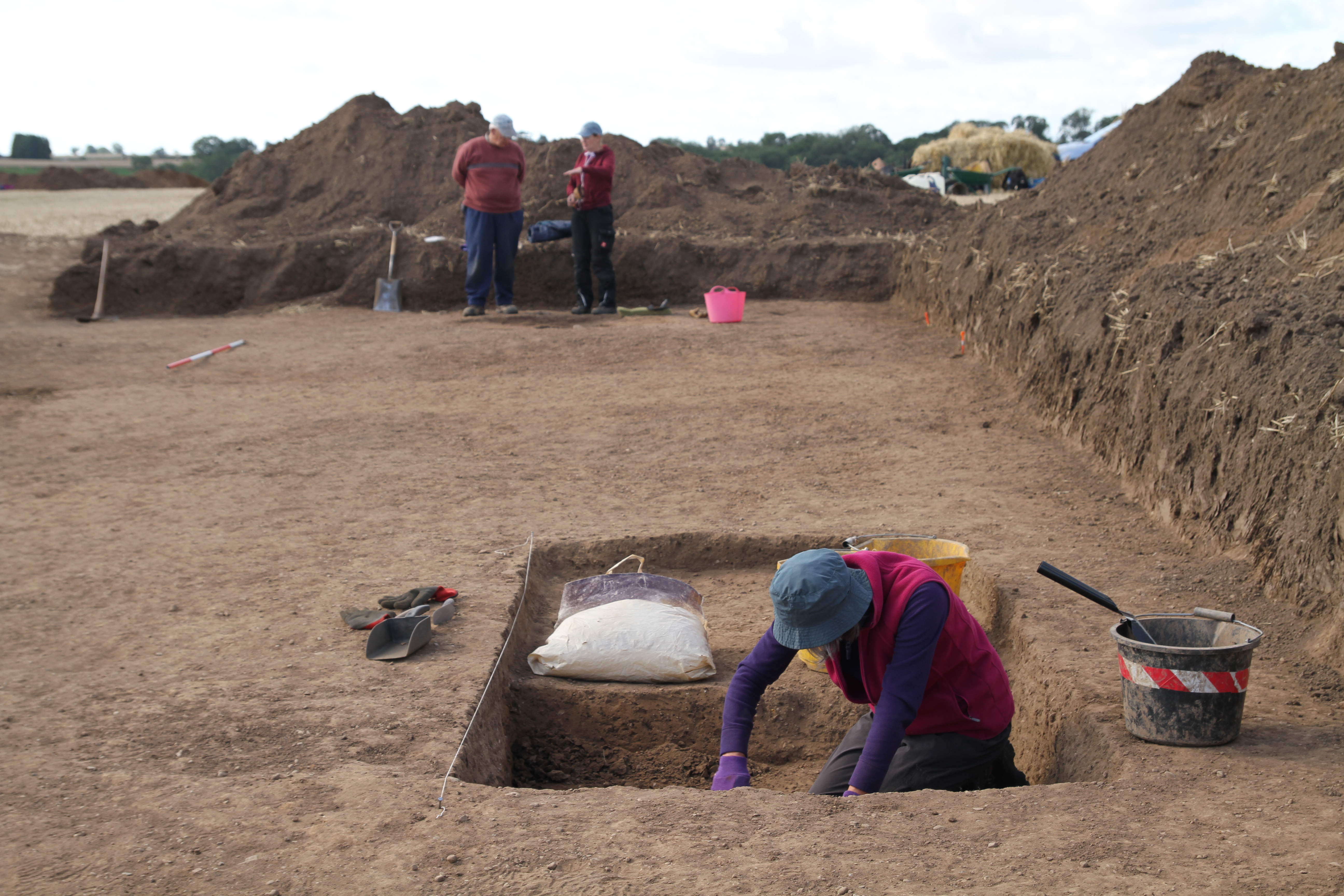
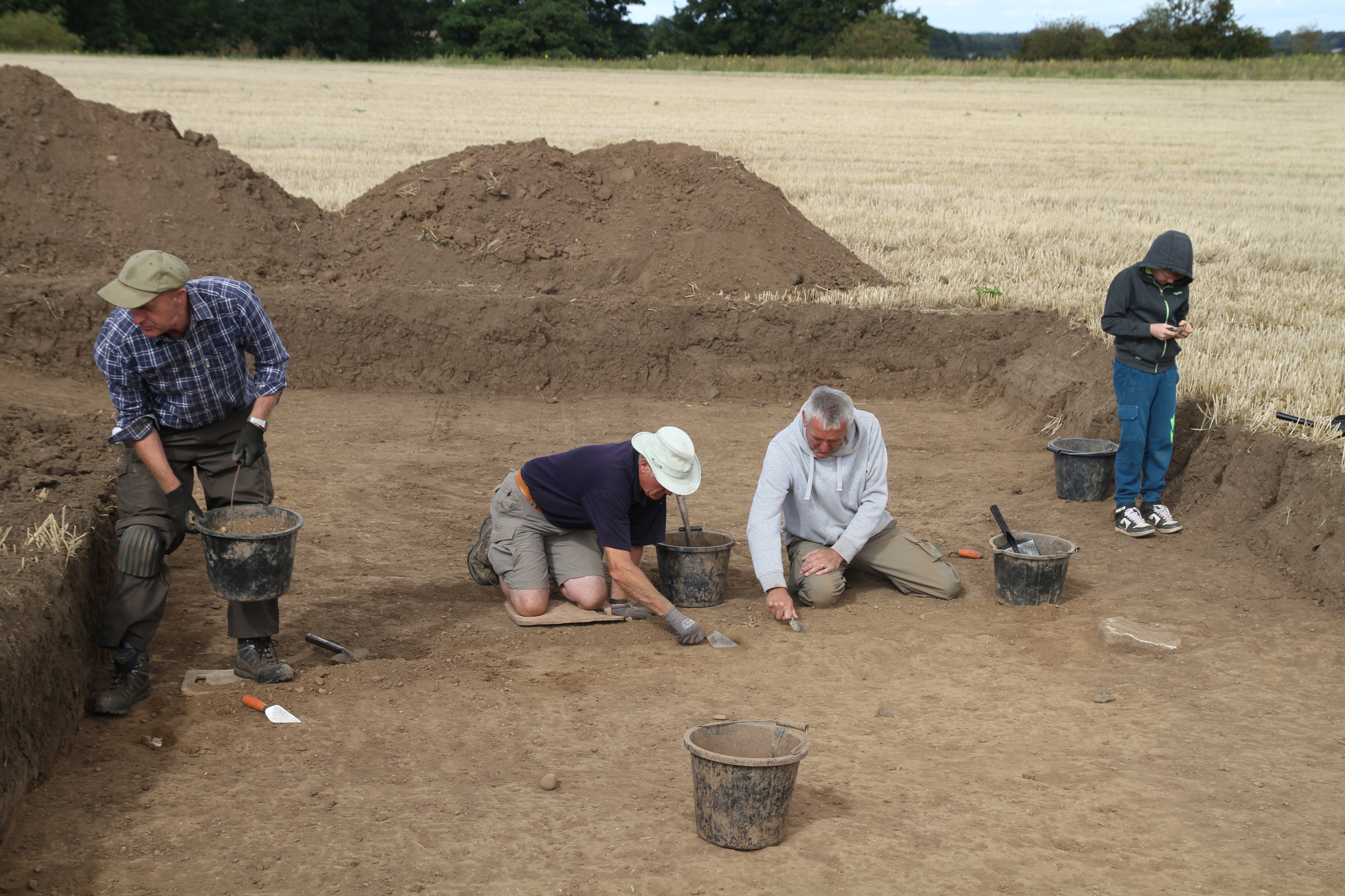
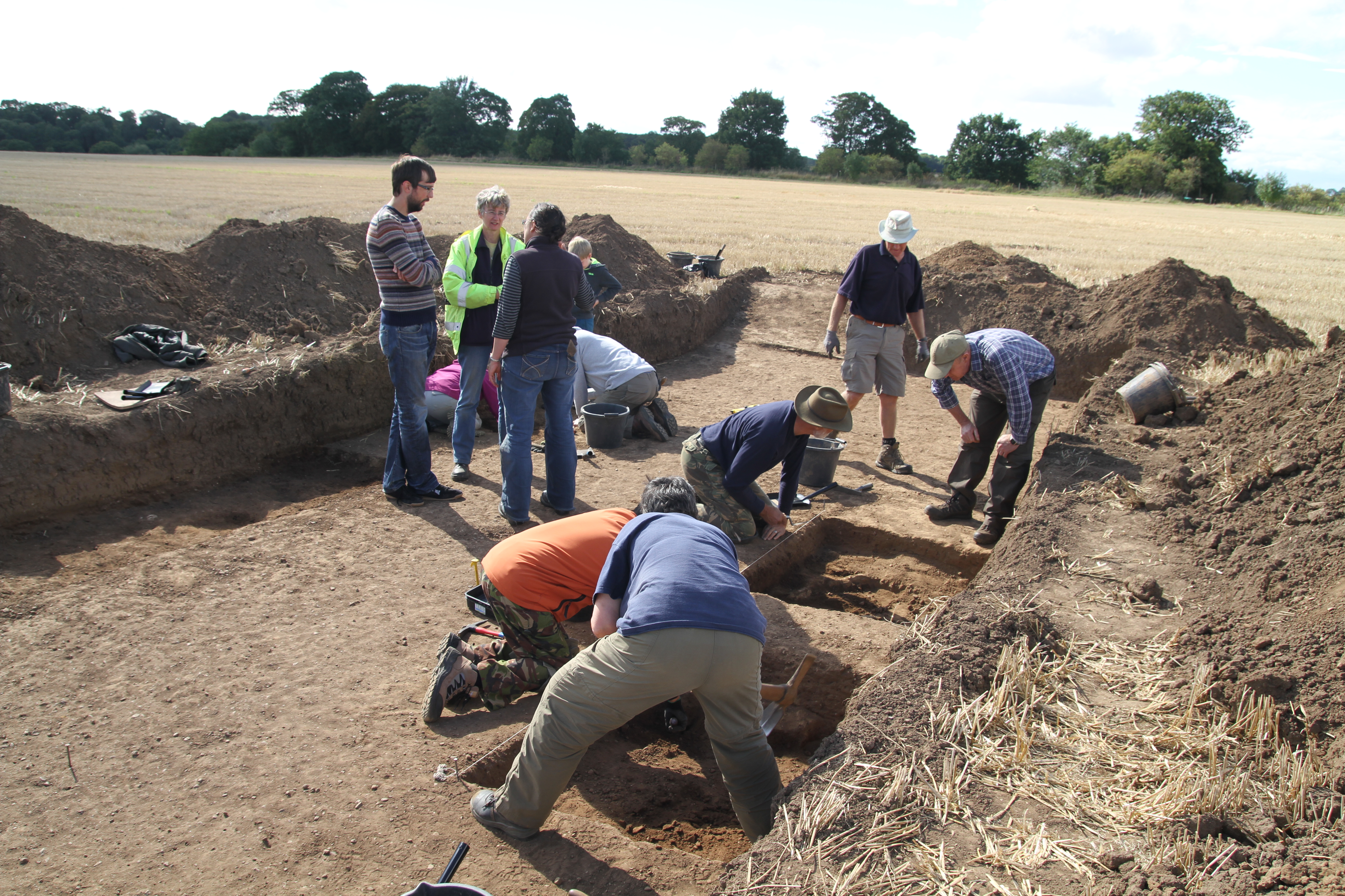
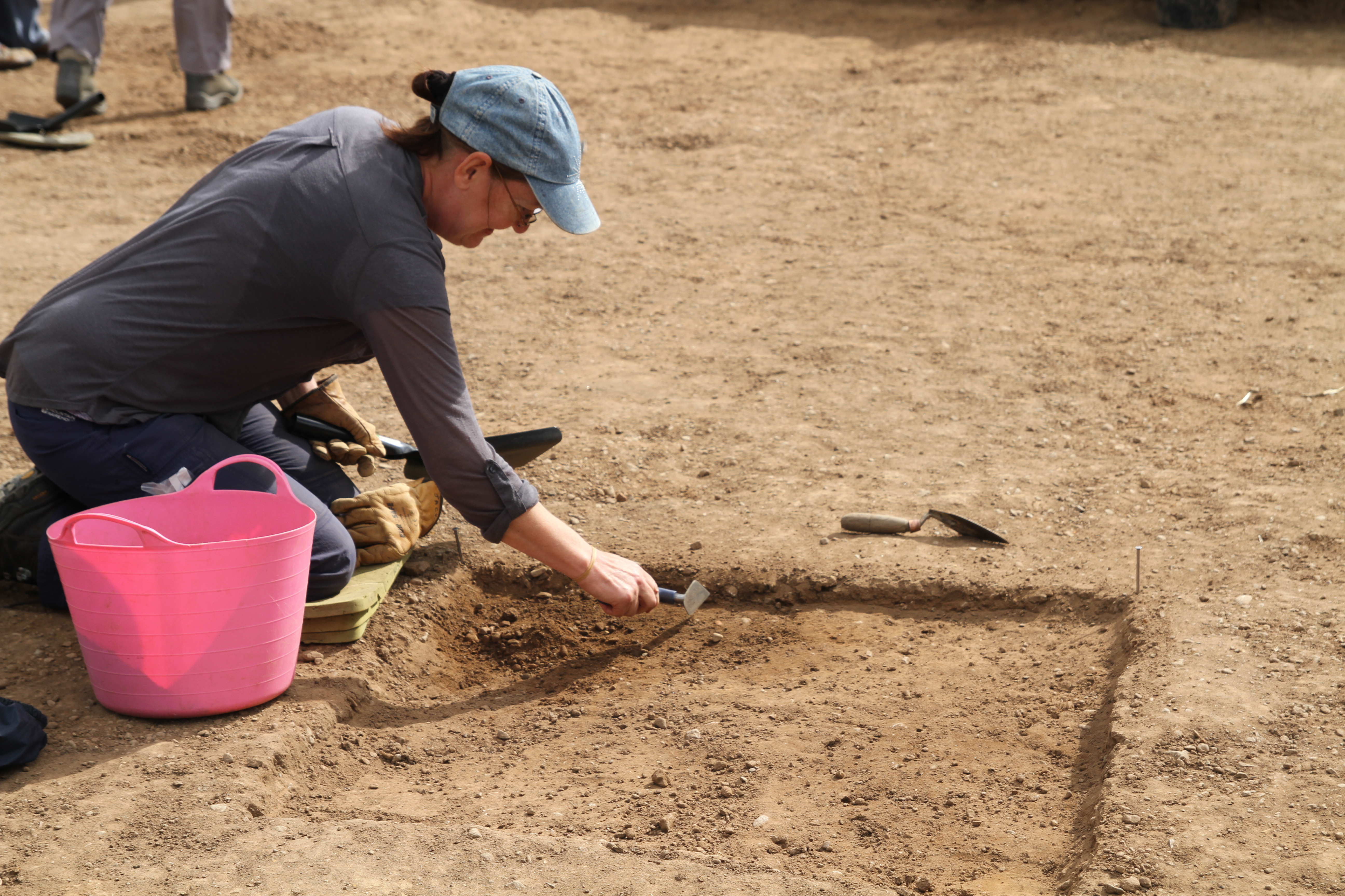
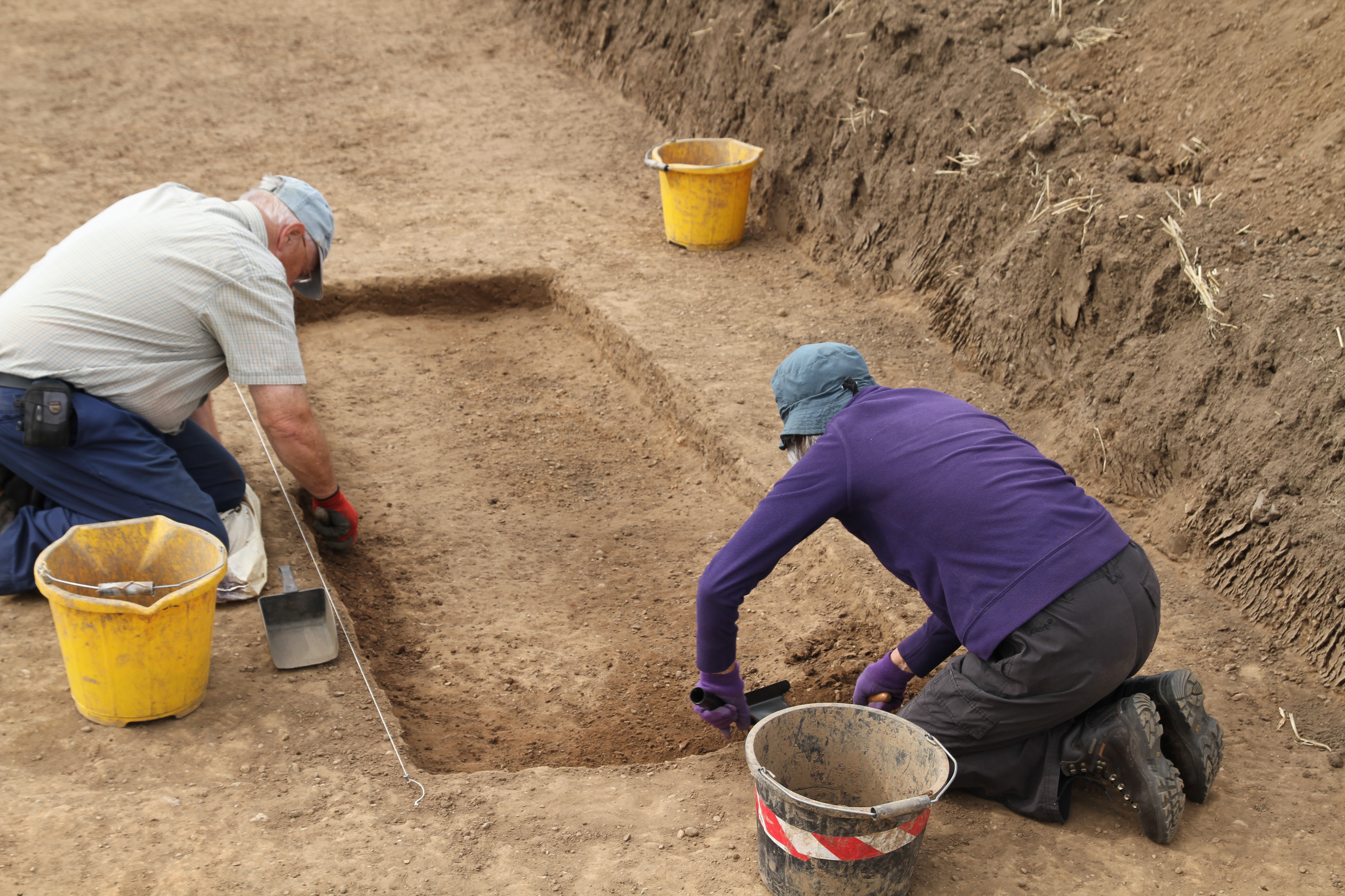
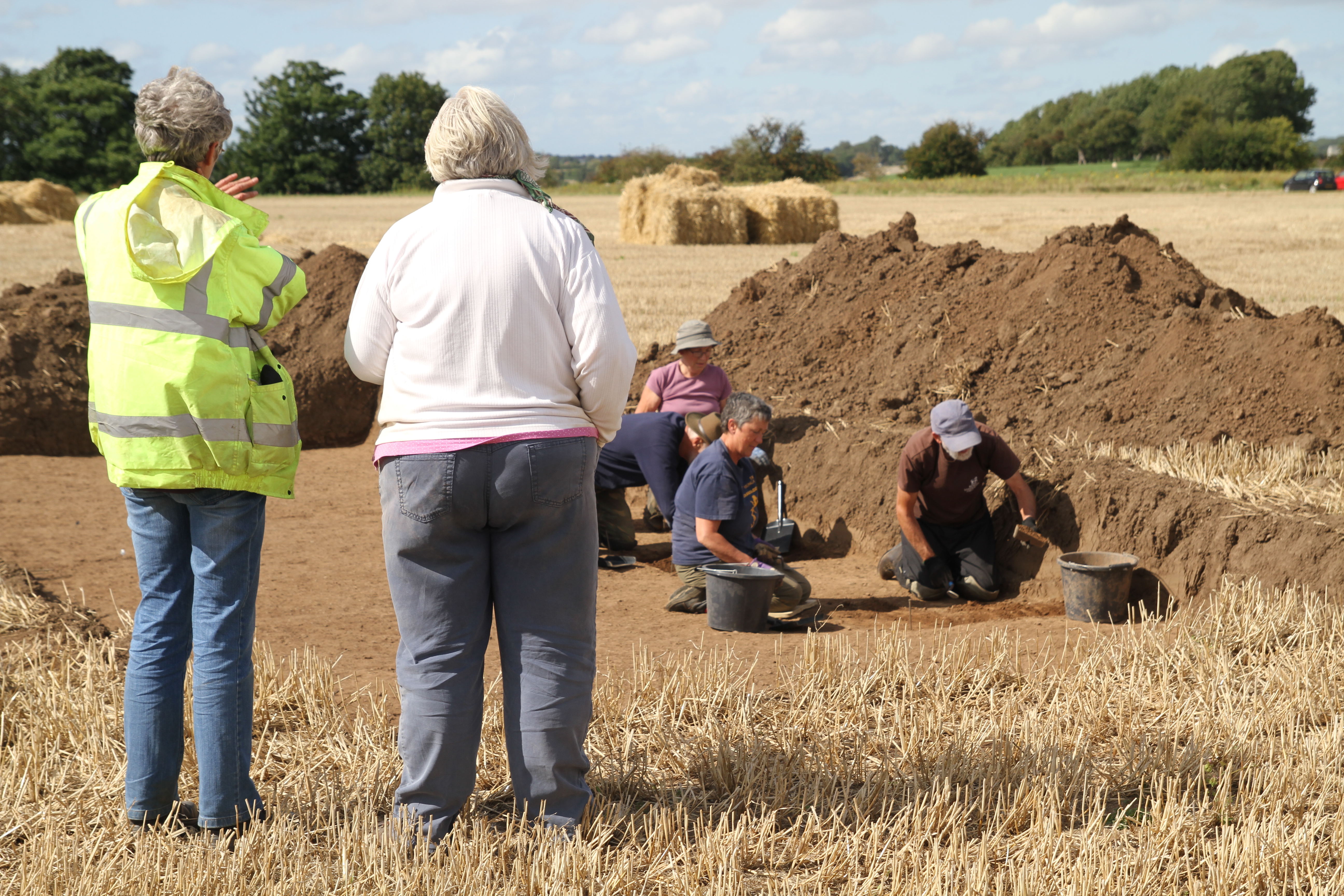
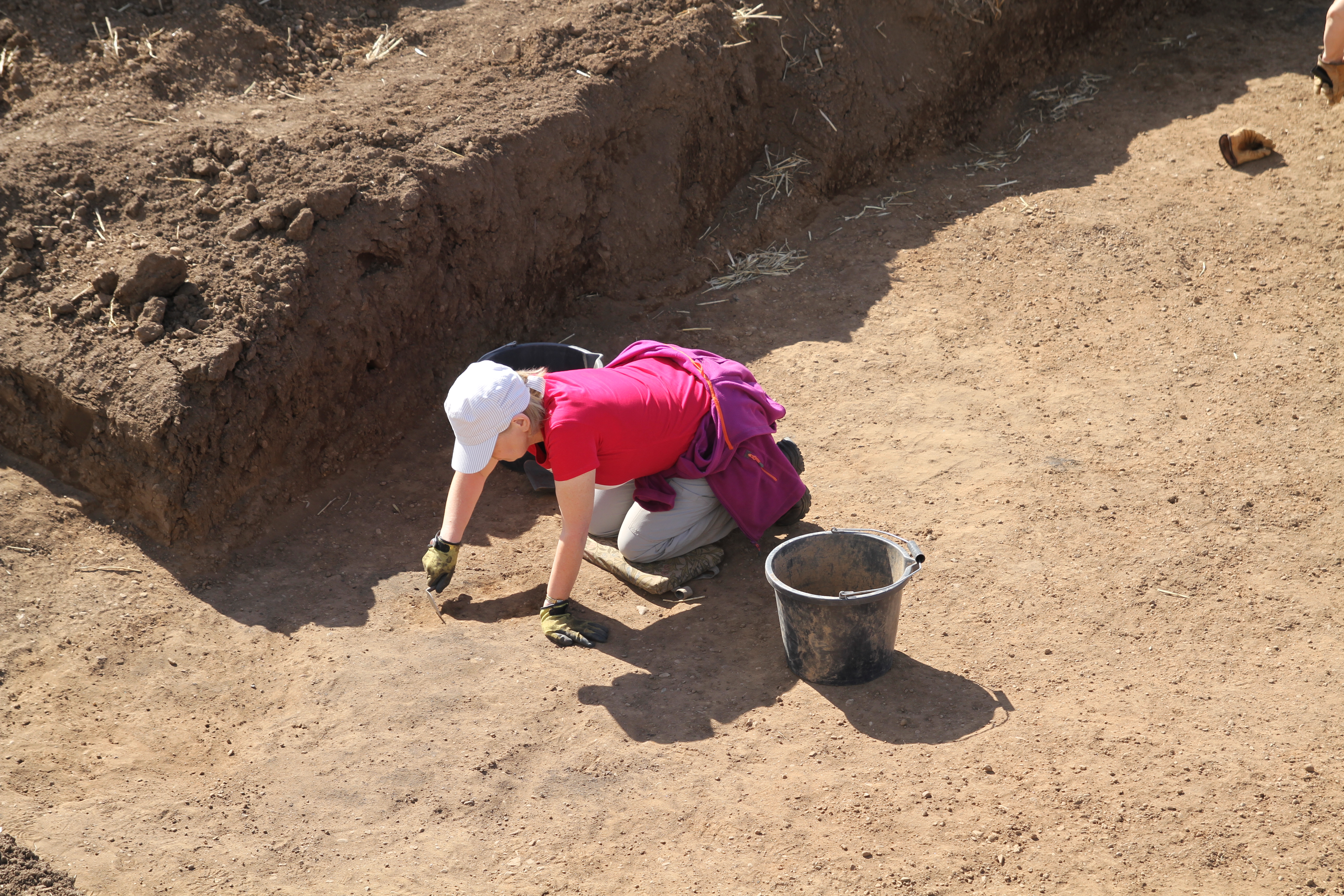
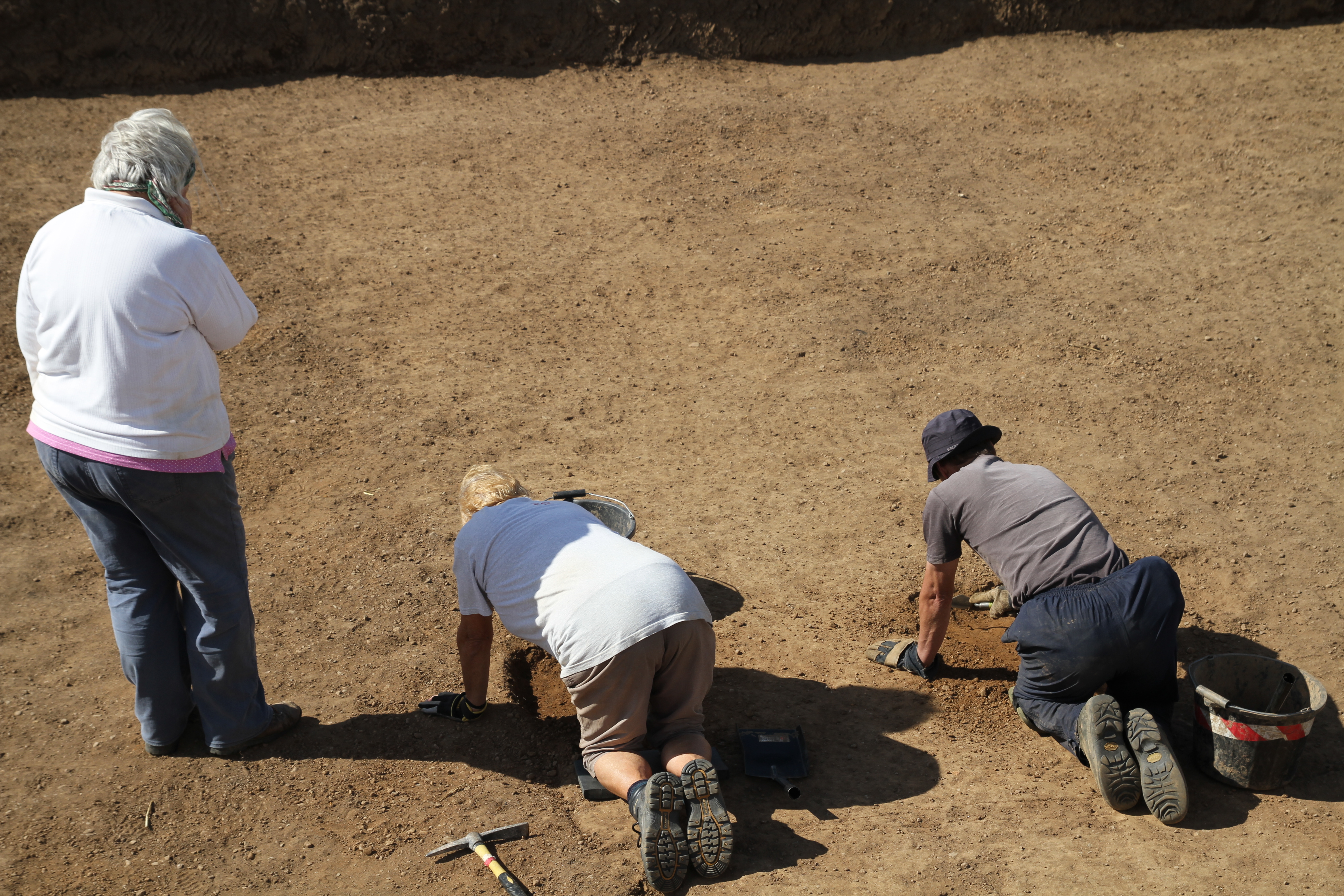
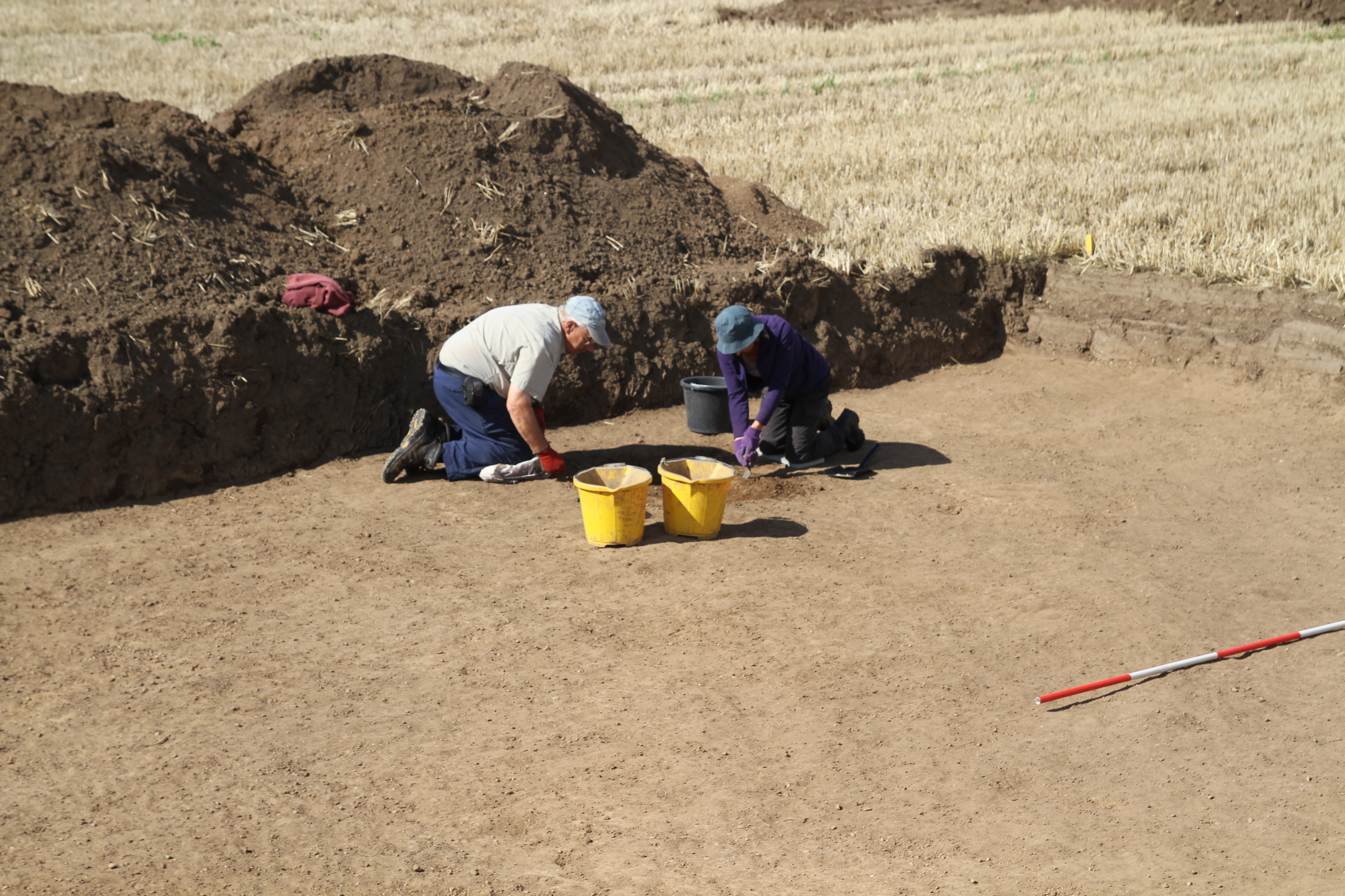
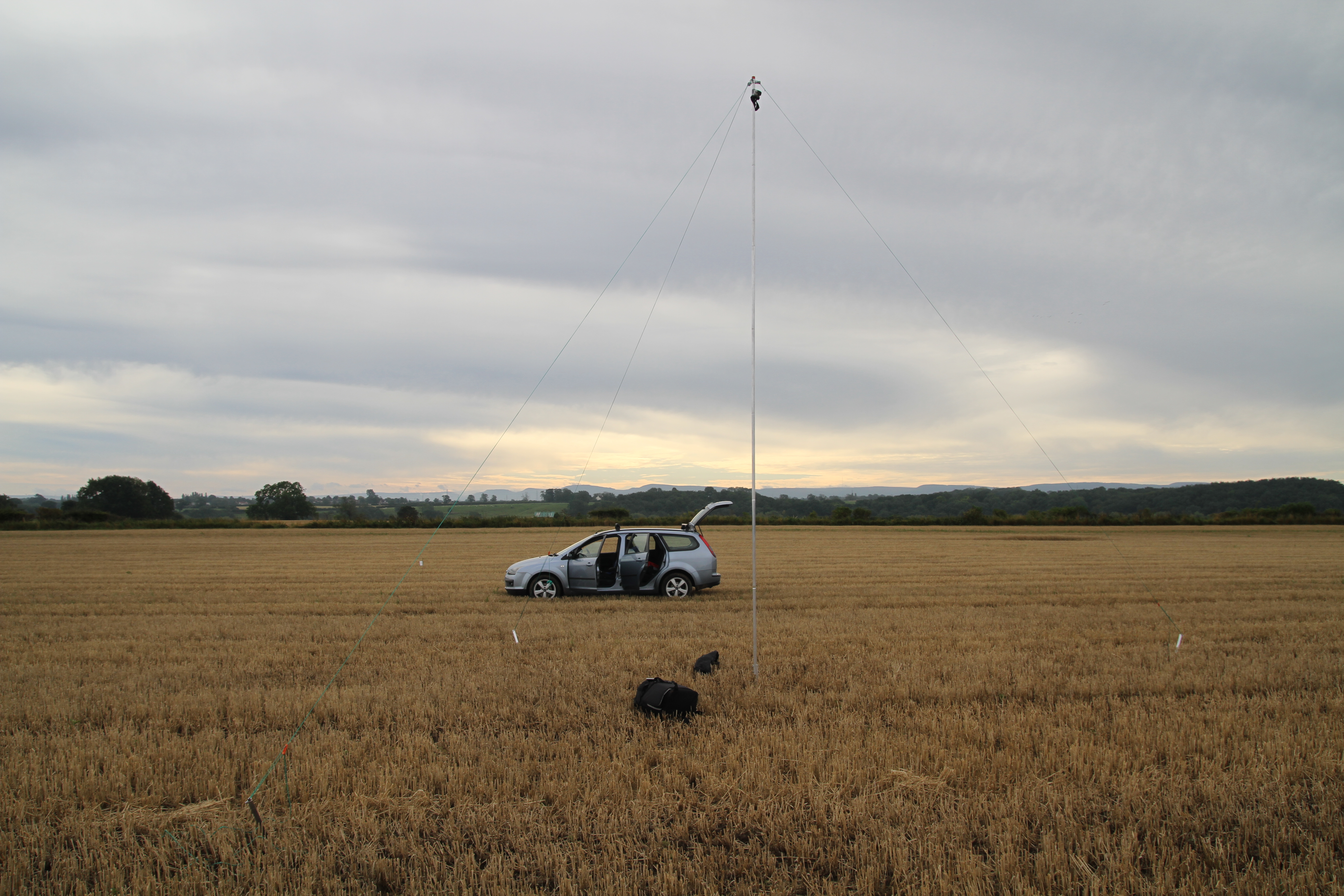
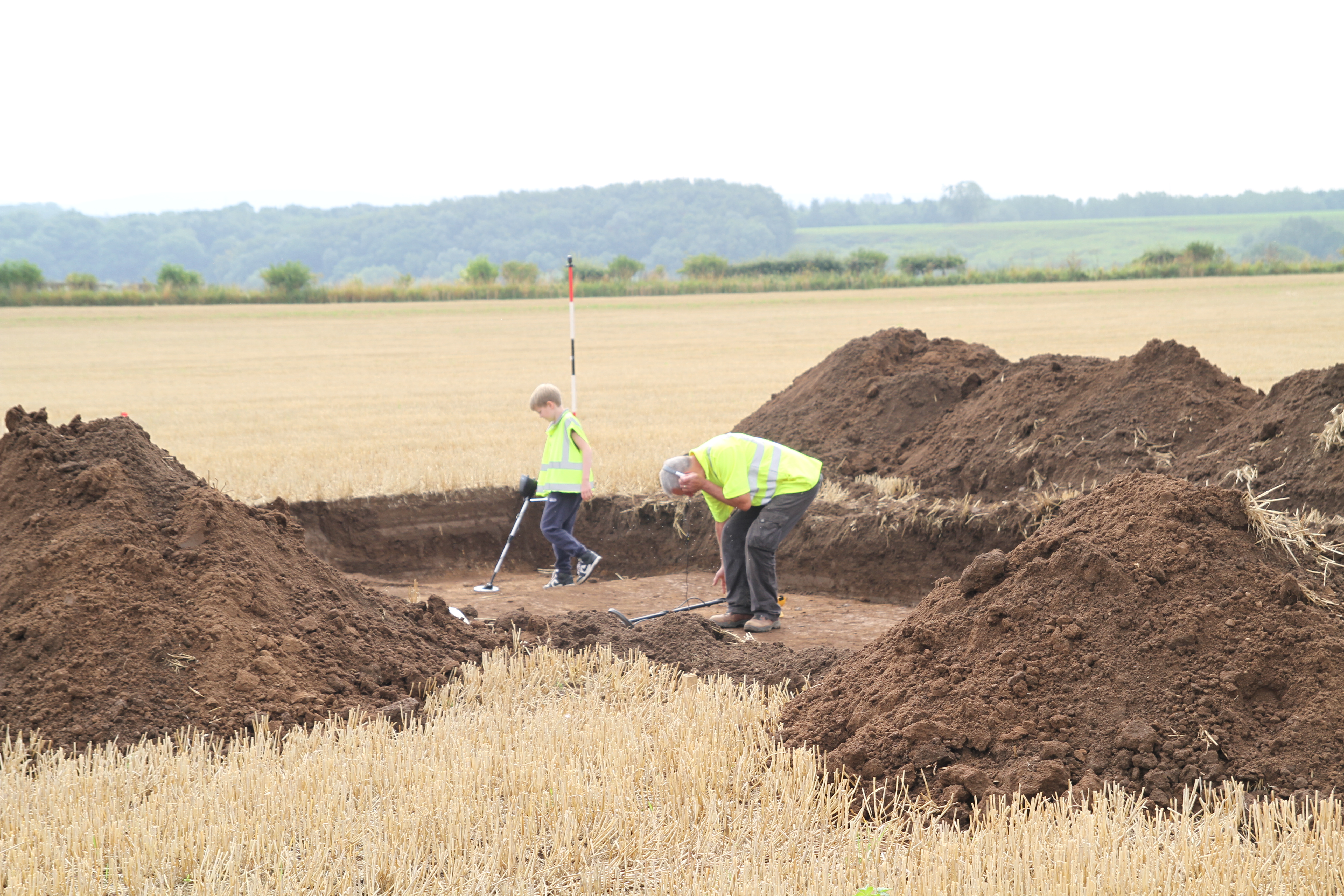
Good day on site. weather held until knocking off time, and then at 4.30 the heavens opened with rain and hail.

Excavation Day 4

August Bank holiday Monday dawns damp and wet, perhaps the gods of archaeology are looking down sympathetically on the bunch of sand and gravel shovellers in Newsham.  Optimistic the rain will bring resolution of some present but hiding features.

First stop Trench 4 where we have placed our trench to section a long side of a rectangular feature. In the dampened trench our previously absent feature is now sticking out like a sore thumb, we can even see a return. It is noteworthy however that the fills of ditches on this site even when wet are barely a couple of shades different from the natural.

Here are a few plans of the site and the general project.

New Speculative Roman Road SystemNew Crop Marks and Earthworks(Oblique)

Fordal Points

A decision was made  at the digger stage when it became clear that the geology would be causing us problems  to open up an extra  trench across the camp north ditch away from the entrance to provide for a second opportunity if one was required to  record a clean section. Again the ditch did not present well in this trench either, and it was necessary to hand trowel away  a 5 metre strip of the ditch   25mm at a time ,  requiring the removal of 75mm before the ditch edges popped out.  The ditch is 2.40 metres wide, and first impressions suggest the edge is a narrow band of fine sand probably from erosion of the ditch from the very beginning, sandwiched between the natural sand and gravels and the more denser fill.

The motley crew, a fine bunch of amateur archaeologists.

Excavation Day 3

Weather more of the same dry and windy,conditions making excavation and recording  difficult, but we are slowly getting a handle on the geology.

The second  trench we have been excavating is Trench 2.

The marching camp appears to have been reduced in size on at least two occasions.  This trench cuts across the North/South ditch line of the smaller of the two  internal divisions of  the marching camp, and also includes  a roundish feature,  the aim being to date the subdivision.

IMG_9561TIMG_0398

Trench 1 also still fighting us all of the way. Titula ditch to the front of the entrance now clearly defined and producing pottery. Main ditch terminal still proving elusive.

IMG_0420

Pottery collection from a 10 min field walk in the ploughed field adjacent to main site. Concentration of Tees Valley Ware(11-13th C) from an area which indicated a possible structure in the magnetometer survey.

IMG_9542

Excavation Day 2

Day 2 dawns dry and windy, never again will I complain about excavating in heavy boulder clays, when the alternative in sand and gravels is infinitely worse for  defining archaeology.

As well as the research element of this excavation, there is no doubt searching questions will  be raised as to the  current procedures utilised by the archaeology community during developer funded watching briefs on this type of geology.   Instant judgements  are often required under pressure from developers after the removal of top soil,  as to whether archaeology is present or not,

We removed 50cm of topsoil and know that the archaeology is 15-20cm below the deepest ploughing for crops such as potatoes, and is therefore undisturbed from modern agriculture.   We have numerous crop mark evidence, and we also  carried out a large scale magnetometry survey with stunning results,  revealing a multi-period archaeological landscape. With our  precisely  located trenches we knew the archaeology was there,   yet with the one exception of a ditch across Trench 3 that conformed to  having a brown loamy fill against yellow sand and gravels, all of our trenches in developer funded investigations would have been abandoned, as containing no archaeology.

At the horizon between topsoil and subsoil  and as we became more familiar with the geology,  the features which we are confident are prehistoric and Roman  can only be teased out by a slight textual change between a slightly looser natural  sand and gravel, and a harder lens of sand and gravel that has accumulated on the top of the feature, there is no clear edge to this change, no colour difference, and location has been a matter of accurate measuring in from known points to  identify  a general area of investigation.  Once the feature is tentively located and the crust is broken through, a slightly more conventional ditch fill becomes apparent.

IMG_9523IMG_9532

IMG_9518IMG_9521

To put the excavation in context, here is a potted version of the trench layout and the reasoning behind it. Trench 1 will be today other trenches to follow.

Trench 1 is considered the main trench and straddles the  northern gate of the marching camp, one of two gates we have identified, as we also have the southern gate located. The northern  gate faces  the direction of travel,  and most danger for the campaigning  army, and  would be considered the main gate, the Porta Praetoria, with the Via Praetoria being the road that led  from the gate to the camp centre. Trench 1  straddles some 4.5m of  the ditch circuit including the eastern terminal of the gate, together with 5.5m of the 10m wide entrance.  The ditch also extends to the north to  include 5.5m of the tituli, which is a section of bank and ditch some 8 to 10m in front of the gate opening, and 10m wide,  designed to create a barrier the same width directly in front of  the gate opening. The purpose of the tituli is to stop any attacking force from carrying out a frontal attack, forcing them to the sides, slowing their momentum  and splitting the attack force.

Today we also aimed to begin our investigation of the river bed  with Rolfe Mitchinson and Bob Middlemas. Both are  amateur archaeologists who for  over 40 years have been central to advancing our  understanding of river crossings  of the Roman period in the North East. Their collection of material from the bed of the river at Piercebridge is unsurpassed in its breadth, and with the British Museum currently analysing and archiving the material, this is an outstanding contribution to research archaeology.

Today unfortunately the river level had risen overnight some 60cm and was heavily coloured and flowing fast. After a brief splodge Rolfe and Bob decided it was too dangerous.

Watch this space!

IMG_9526IMG_9525

Excavation Day 1

Rained overnight, damp, moody and windy morning. Set up awning in advance of the volunteer diggers arriving at 9am. Trench 2 rapidly cleaned and photographed, Trench 1 cleaned and photographed by lunchtime.

Set up time lapse camera on 7 metre mast overlooking Trench 1,  recording the exposure  of a number of anomalies including a linear feature.  In the afternoon session volunteers tasked to excavate several features  in Trench 1 and Trench 2.

Trench 1  investigates the north gate of the marching camp and tituli outside.  Excavation of the tituli produced our first piece of pottery in context, additionally several pieces of flint were recovered.

Visited the Fardeanside ford to the south of the site to establish the river level, river running about 30cm higher than normal .

Rolfe Mitchinson and Bob Middlemas arrive Thursday AM to begin their investigation of the river bed for evidence of a fixed crossing point.

IMG_9493

IMG_9497IMG_9498IMG_9499

Things aren’t always what they seem.!!

Second day of trench opening, and you would think with all the archaeology  present on this plot, the various features would be easy to find once the topsoil is off.  Think again!

The site has 500mm of topsoil with a thin layer of sand and gravel subsoil, and complicated with unexpected narrow rig and furrow. With a beating down sun, and breeze drying the ground out practically as it was opened up, nice clean dark archaeological features against a sandy natural were not exactly jumping out at us.

The north side of the marching camp ditch running for 200 m  right up the middle of the plot is clear in both geophysical survey and cropmarks, yet locating it has been the bain of the day.

IMG_7266
21ft mast which will be used experimentally to hopefully time lapse an overhead view of the complete excavation of at least one of the trenches, allowing the whole process to be viewed in a few minutes. Mike Brown is our excavation cameramen and post production specialist , as well as all things IT and technical.
IMG_9435
First flint find of the dig.
IMG_8454
Jenny Parker, Rachel Grahame and yours truly pondering the great unknowns of the universe.
IMG_7338
Graham Brown and grandson Bailey leaving no stone unturned.