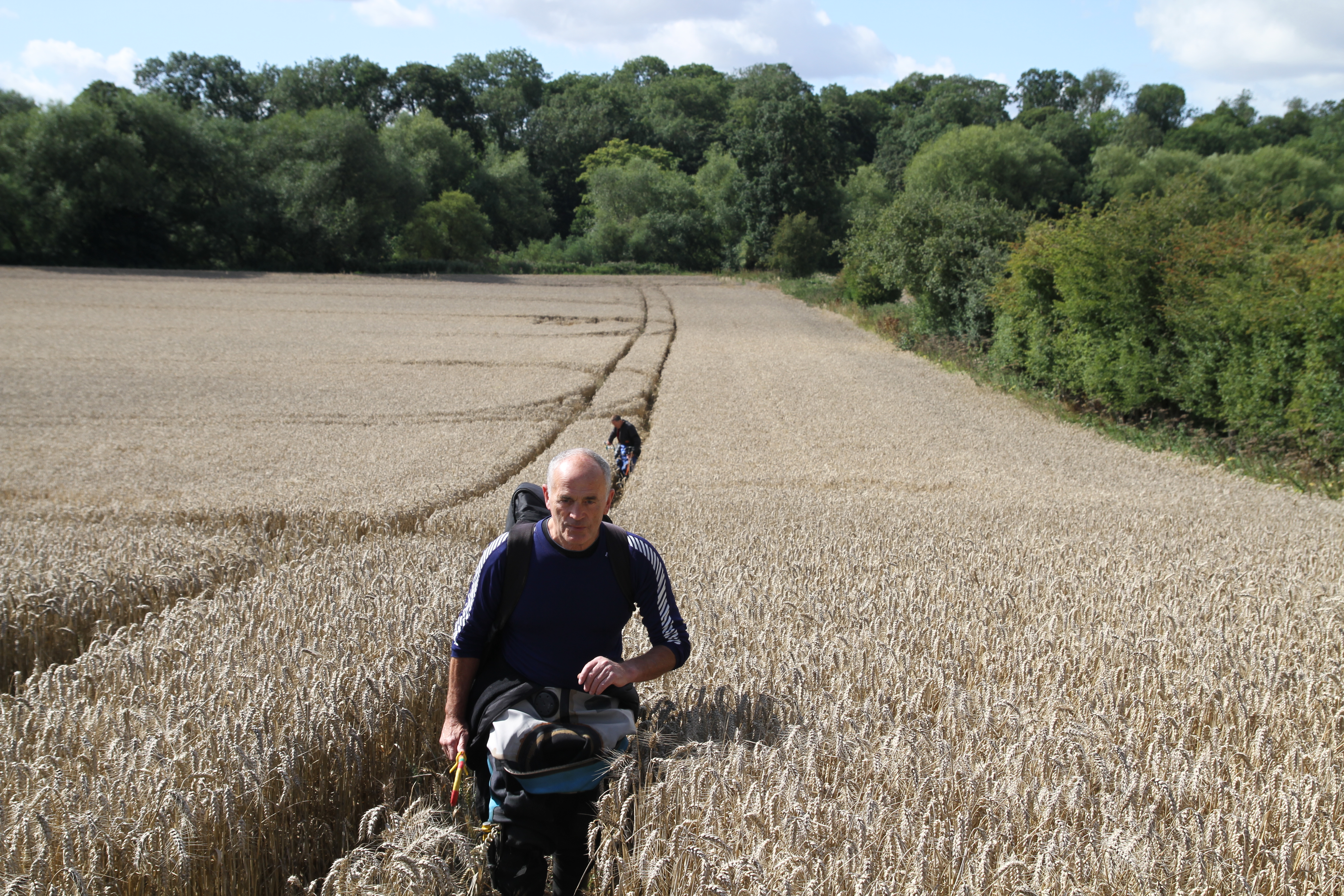
Day 2 dawns dry and windy, never again will I complain about excavating in heavy boulder clays, when the alternative in sand and gravels is infinitely worse for defining archaeology.
As well as the research element of this excavation, there is no doubt searching questions will be raised as to the current procedures utilised by the archaeology community during developer funded watching briefs on this type of geology. Instant judgements are often required under pressure from developers after the removal of top soil, as to whether archaeology is present or not,
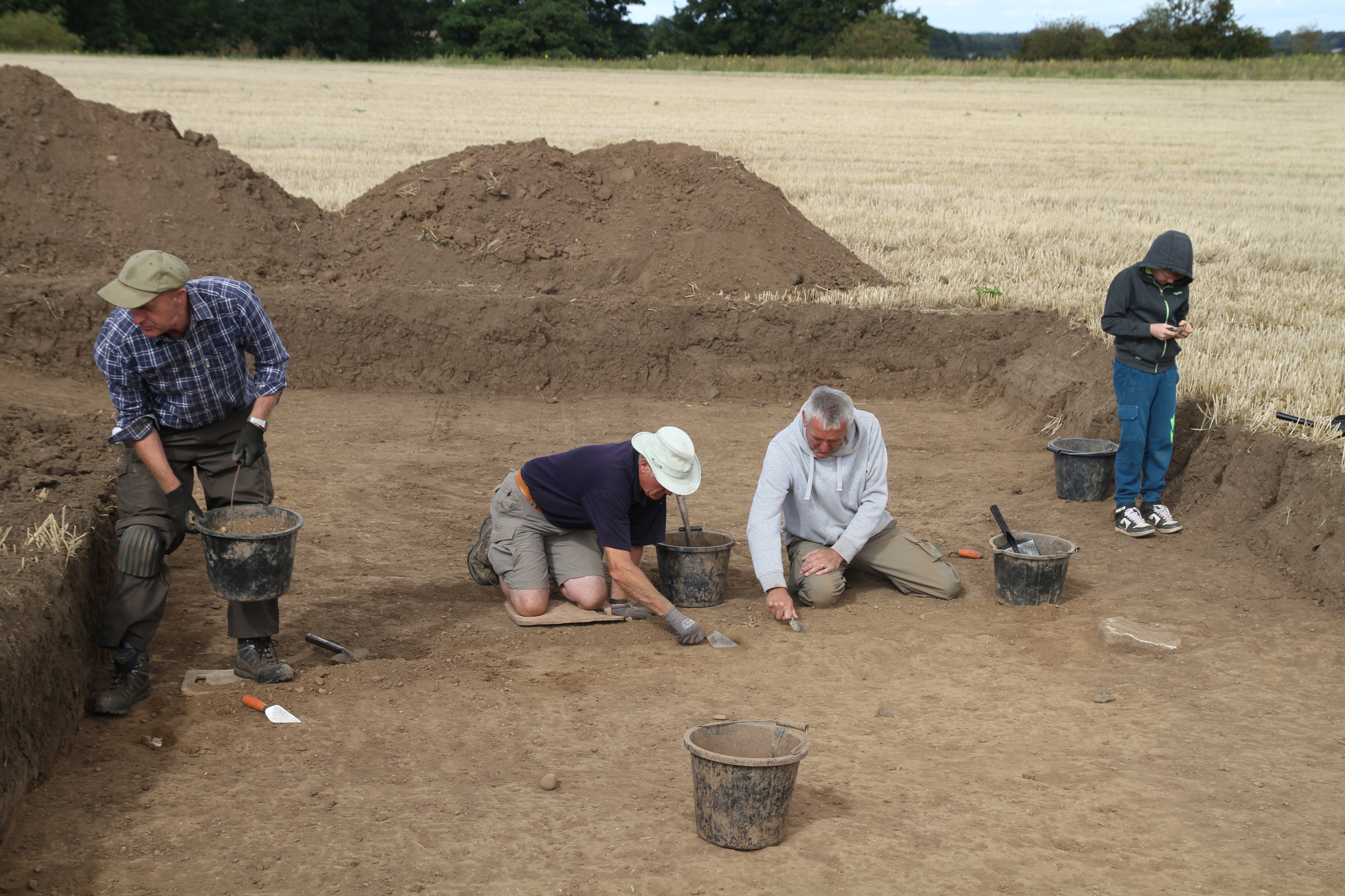
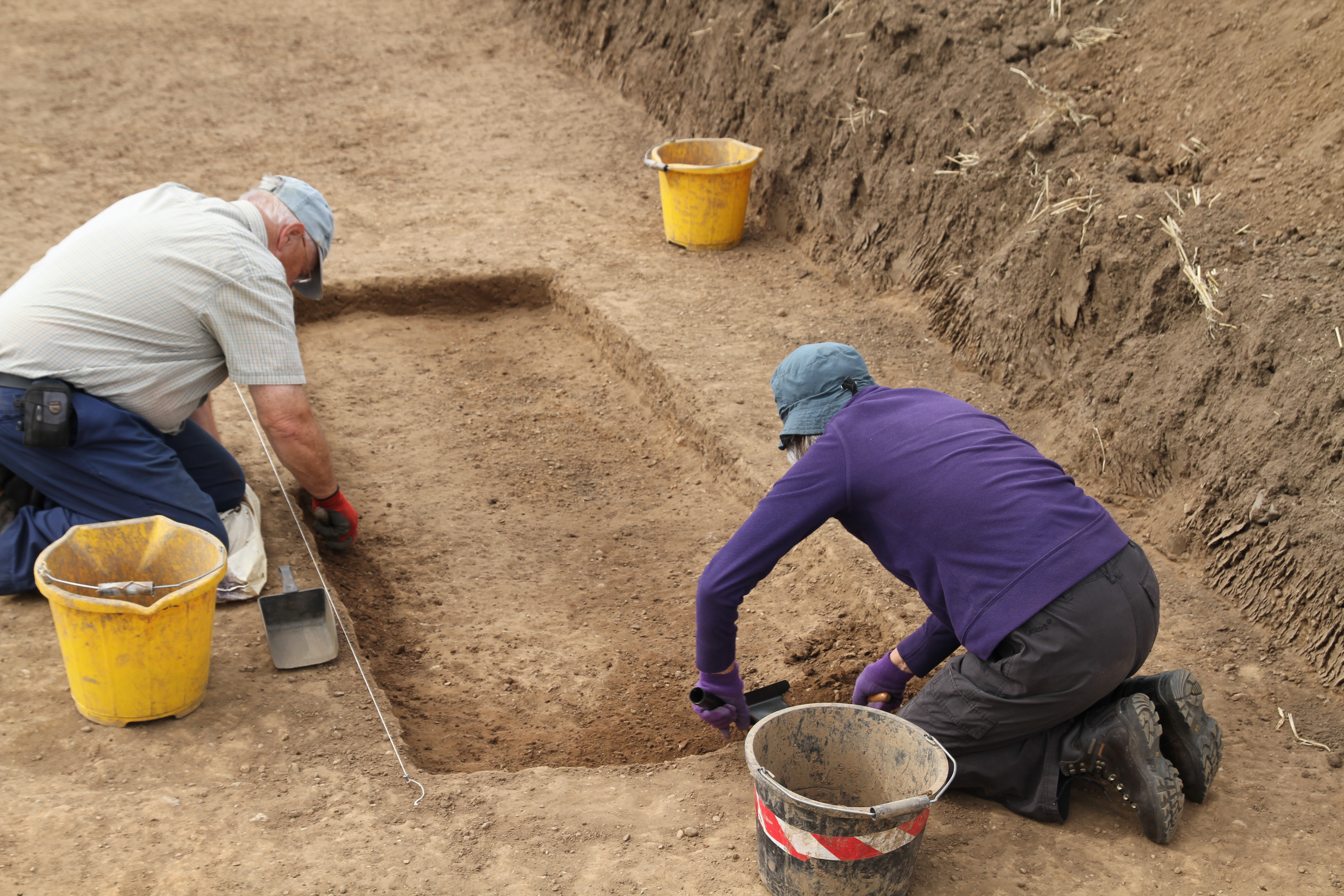
We removed 50cm of topsoil and know that the archaeology is 15-20cm below the deepest ploughing for crops such as potatoes, and is therefore undisturbed from modern agriculture. We have numerous crop mark evidence, and we also carried out a large scale magnetometry survey with stunning results, revealing a multi-period archaeological landscape. With our precisely located trenches we knew the archaeology was there, yet with the one exception of a ditch across Trench 3 that conformed to having a brown loamy fill against yellow sand and gravels, all of our trenches in developer funded investigations would have been abandoned, as containing no archaeology.
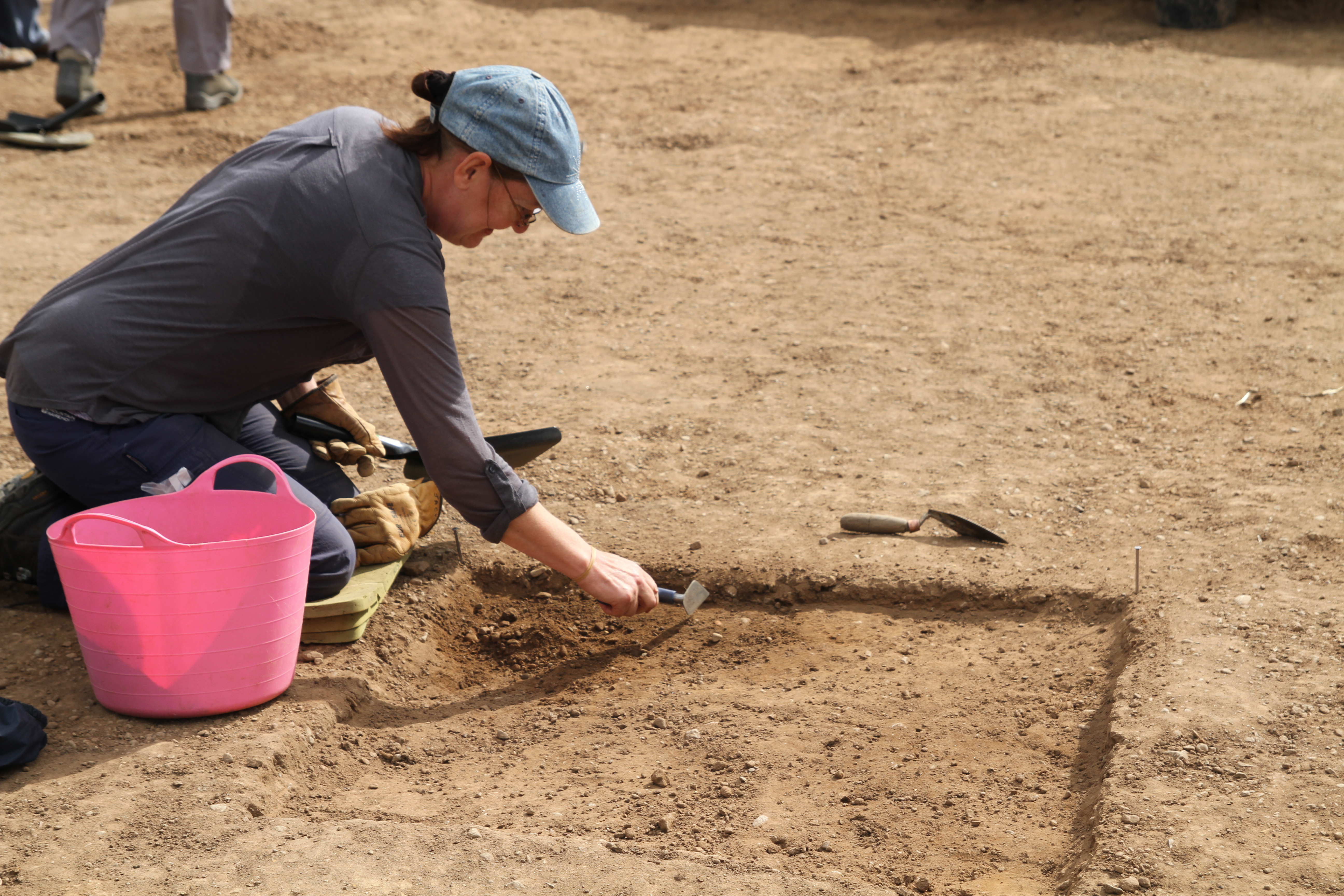
At the horizon between topsoil and subsoil and as we became more familiar with the geology, the features which we are confident are prehistoric and Roman can only be teased out by a slight textual change between a slightly looser natural sand and gravel, and a harder lens of sand and gravel that has accumulated on the top of the feature, there is no clear edge to this change, no colour difference, and location has been a matter of accurate measuring in from known points to identify a general area of investigation. Once the feature is tentively located and the crust is broken through, a slightly more conventional ditch fill becomes apparent.
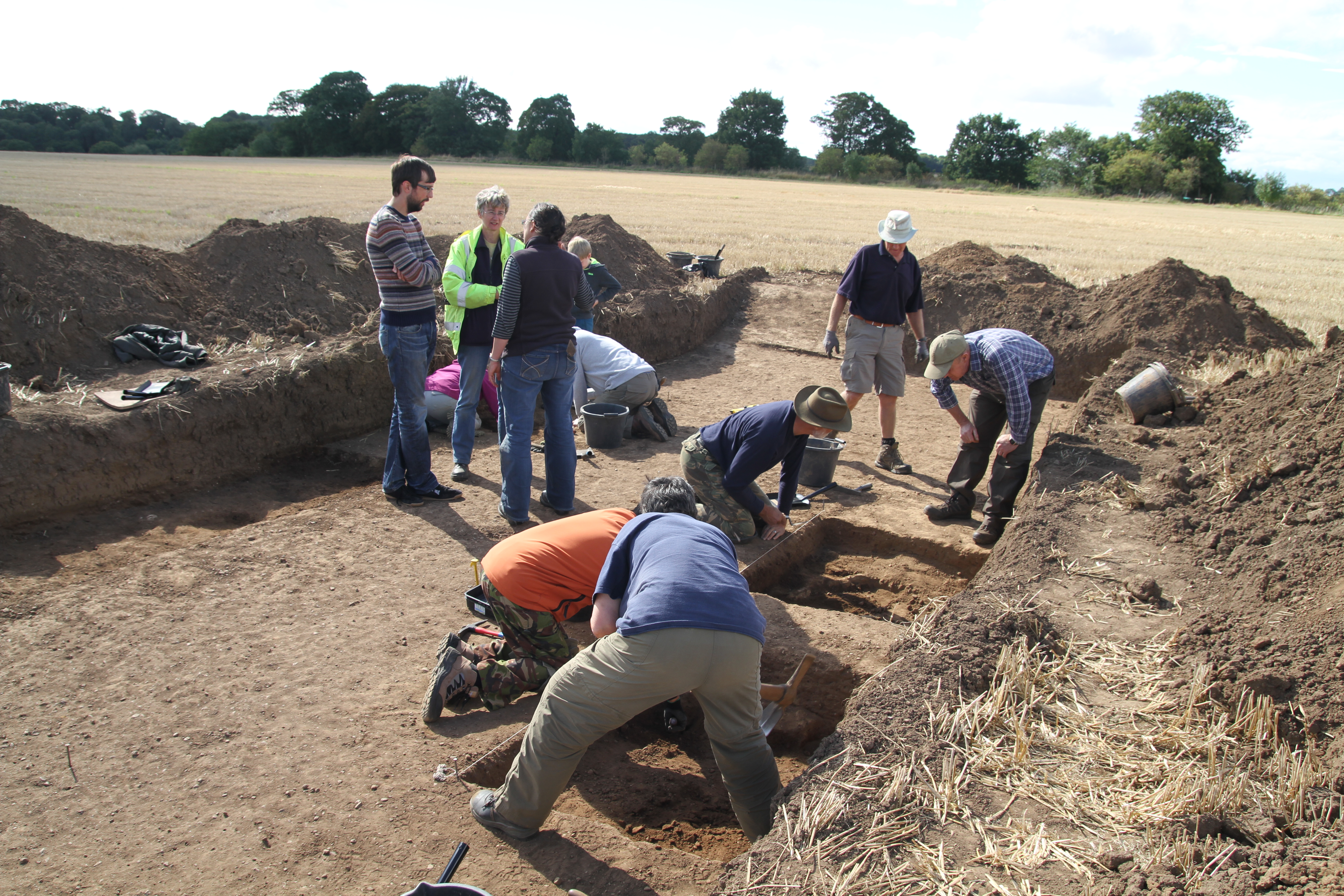
To put the excavation in context, here is a potted version of the trench layout and the reasoning behind it. Trench 1 will be today other trenches to follow.
Trench 1 is considered the main trench and straddles the northern gate of the marching camp, one of two gates we have identified, as we also have the southern gate located. The northern gate faces the direction of travel, and most danger for the campaigning army, and would be considered the main gate, the Porta Praetoria, with the Via Praetoria being the road that led from the gate to the camp centre. Trench 1 straddles some 4.5m of the ditch circuit including the eastern terminal of the gate, together with 5.5m of the 10m wide entrance. The ditch also extends to the north to include 5.5m of the tituli, which is a section of bank and ditch some 8 to 10m in front of the gate opening, and 10m wide, designed to create a barrier the same width directly in front of the gate opening. The purpose of the tituli is to stop any attacking force from carrying out a frontal attack, forcing them to the sides, slowing their momentum and splitting the attack force.
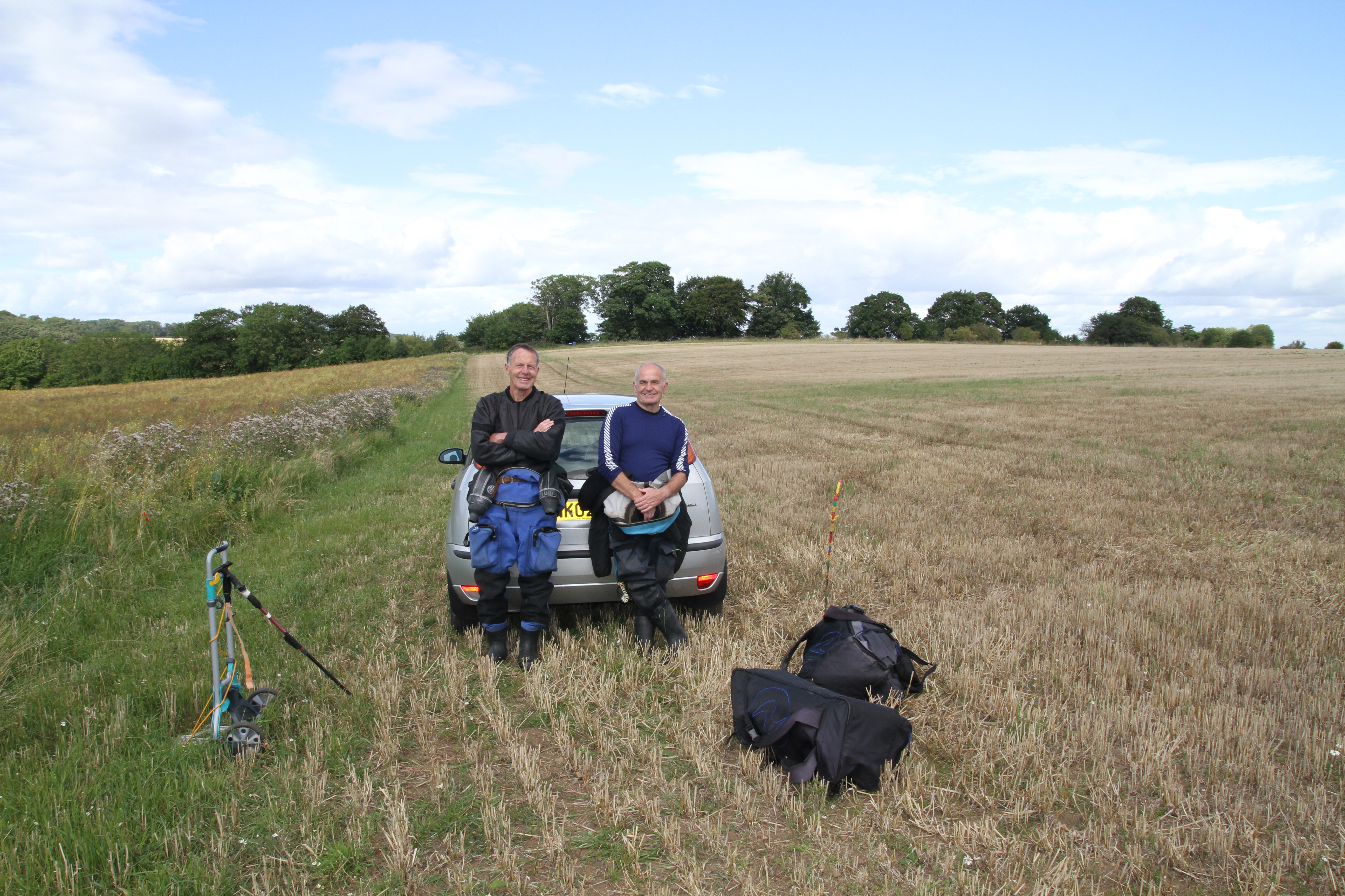
Today we also aimed to begin our investigation of the river bed with Rolfe Mitchinson and Bob Middlemas. Both are amateur archaeologists who for over 40 years have been central to advancing our understanding of river crossings of the Roman period in the North East. Their collection of material from the bed of the river at Piercebridge is unsurpassed in its breadth, and with the British Museum currently analysing and archiving the material, this is an outstanding contribution to research archaeology.
Today unfortunately the river level had risen overnight some 60cm and was heavily coloured and flowing fast. After a brief splodge Rolfe and Bob decided it was too dangerous.
Watch this space!